
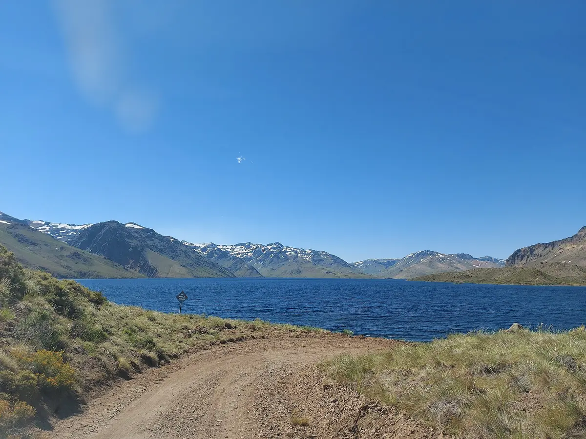
Varvarco to Barrancas (RP 54 / RP 53)
Alto Neuquén, Minas and Pehuenches departments, Neuquén, Argentina
233 km of steep 4x4 gravel and river crossings through the high country of northern Neuquén
Photo: Kenia2023 / CC BY-SA 4.0 / Wikimedia Commons
Nav gets you to the trailhead. On the trail, Follow trail shows the line and where you are on it — road directions don't work on dirt trails.
The line joins the trail's waypoints in straight lines — it shows the general route, not every turn.
A long, remote gravel route linking Varvarco and Barrancas in northern Neuquén, climbing to about 2,825 m and passing Laguna Cari Lauquen, a lake that lost roughly 95 m of water when its natural dam failed in 1914. The road is steep, the gravel is loose at the edges, and it crosses several rivers including the Neuquén, Barrancas, Buta Mallín and Colorado. Treat it as an expedition: 4x4 only, full self-sufficiency, and local advice on river levels before setting out.
Waypoints
- 1Varvarco
Start of the route in the village of Varvarco
-36.87006, -70.68764
- 2Northern high section
Route point from the source map on the climb north of Varvarco
-36.46027, -70.79518
- 3Route point (north)
Northernmost point of the route on the source map
-36.30196, -70.43037
- 4Route point (northeast)
Route point from the source map
-36.35785, -70.27532
- 5Route point (descending east)
Route point from the source map
-36.50758, -70.16291
- 6Route point (southeast)
Route point from the source map
-36.65107, -70.05766
- 7Route point (approach to Barrancas)
Route point from the source map
-36.76033, -69.99490
- 8Barrancas
End of the route at Barrancas
-36.83106, -69.89989