
Tsaris Pass (C19 Sesriem to Maltahöhe)
Hardap Region, southern-central Namibia, Namibia
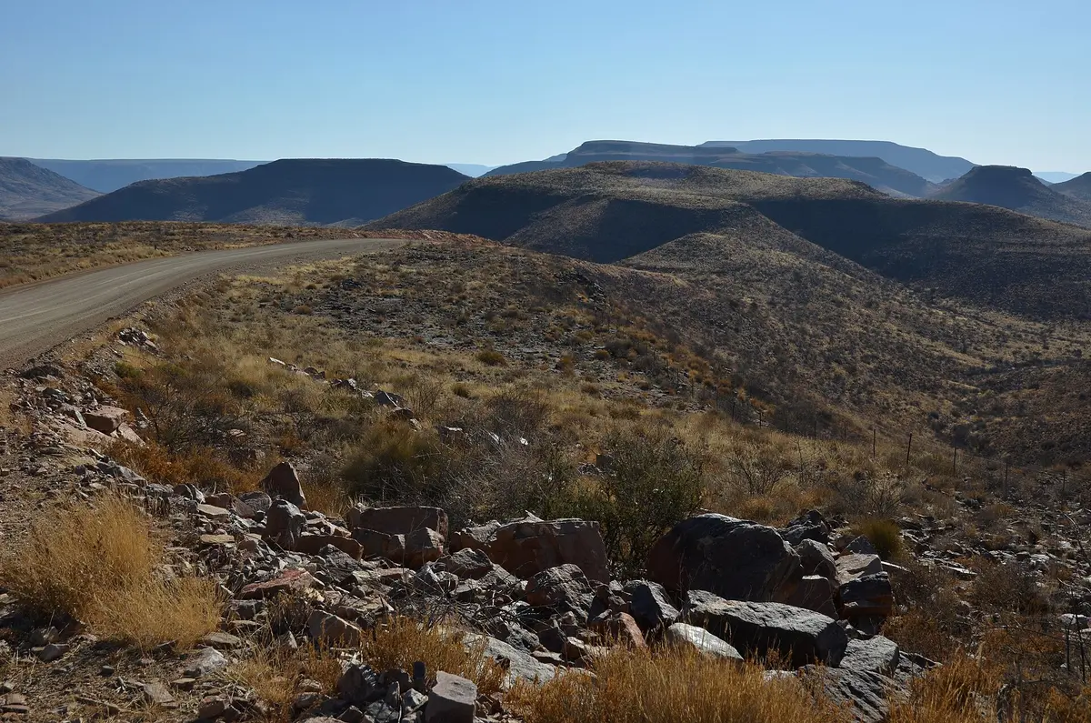
Corrugated escarpment climb between the dunes of Sesriem and Maltahöhe
Photo: Pavel Špindler / CC BY 3.0 / Wikimedia Commons
Nav gets you to the trailhead. On the trail, Follow trail shows the line and where you are on it — road directions don't work on dirt trails.
The line joins the trail's waypoints in straight lines — it shows the general route, not every turn.
The C19 runs about 150 km of unpaved road from Sesriem, gateway to Sossusvlei, up and over the Tsarishoogte (Tsaris) Pass to the village of Maltahöhe. Expect long corrugated stretches, an average 6 percent gradient with short sections much steeper, and wide views over the Namib-Naukluft edge. It turns muddy and slippery after rain.
Waypoints
- 1Sesriem end
Route point from the dangerousroads.org route map (Sesriem side).
-24.44569, 15.89919
- 2Tsaris Pass summit
Approx. 1,672 m. Sections over 20 percent; corrugated.
-24.94504, 16.37906
- 3Route point east of the pass
Intermediate point from the dangerousroads.org route map.
-24.93882, 16.46273
- 4Maltahöhe
Route end point from the dangerousroads.org route map.
-24.84503, 16.97201