
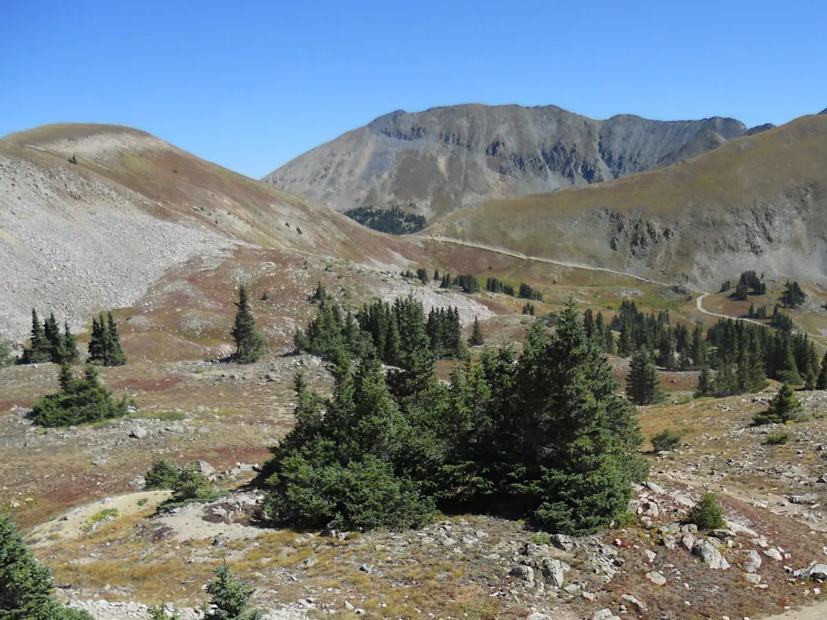
Tomichi Pass
Whitepine / Pitkin, Colorado
Narrow, off-camber shelf road from Brittle Silver Basin to Whitepine
Photo: John Sowell / CC BY-SA 4.0 / Wikimedia Commons
Nav gets you to the trailhead. On the trail, Follow trail shows the line and where you are on it — road directions don't work on dirt trails.
The line joins the trail's waypoints in straight lines — it shows the general route, not every turn.
Tomichi Pass (FR 888) drops south from Brittle Silver Basin, near the top of Hancock Pass and the Alpine Tunnel road, to the old mining camps of Tomichi and Whitepine. The north side is a single-lane shelf with a slide area you drive across and two steeply off-camber stretches just above timberline. Below the pass it turns into rocky forest road with a water crossing and the Tomichi cemetery.
Waypoints
- 1Brittle Silver Basin
North start near Alpine Tunnel and Hancock Pass roads
38.61376, -106.39013
- 2Mine ruins
Old mine remains including a boiler
38.60964, -106.37479
- 3Slide area
Steep, narrow crossing of slide debris
38.60840, -106.37585
- 4Tomichi Pass summit
About 11,980 ft; views of Hancock Pass
38.60330, -106.38337
- 5Off-camber shelf
Off-camber single-lane section above timberline
38.59449, -106.38424
- 6Lower rocky section
Rocky forest driving
38.58642, -106.37574
- 7Tomichi cemetery
Historic townsite cemetery
38.57060, -106.37022
- 8Tomichi townsite (south end)
Continue to Whitepine
38.55680, -106.38287