
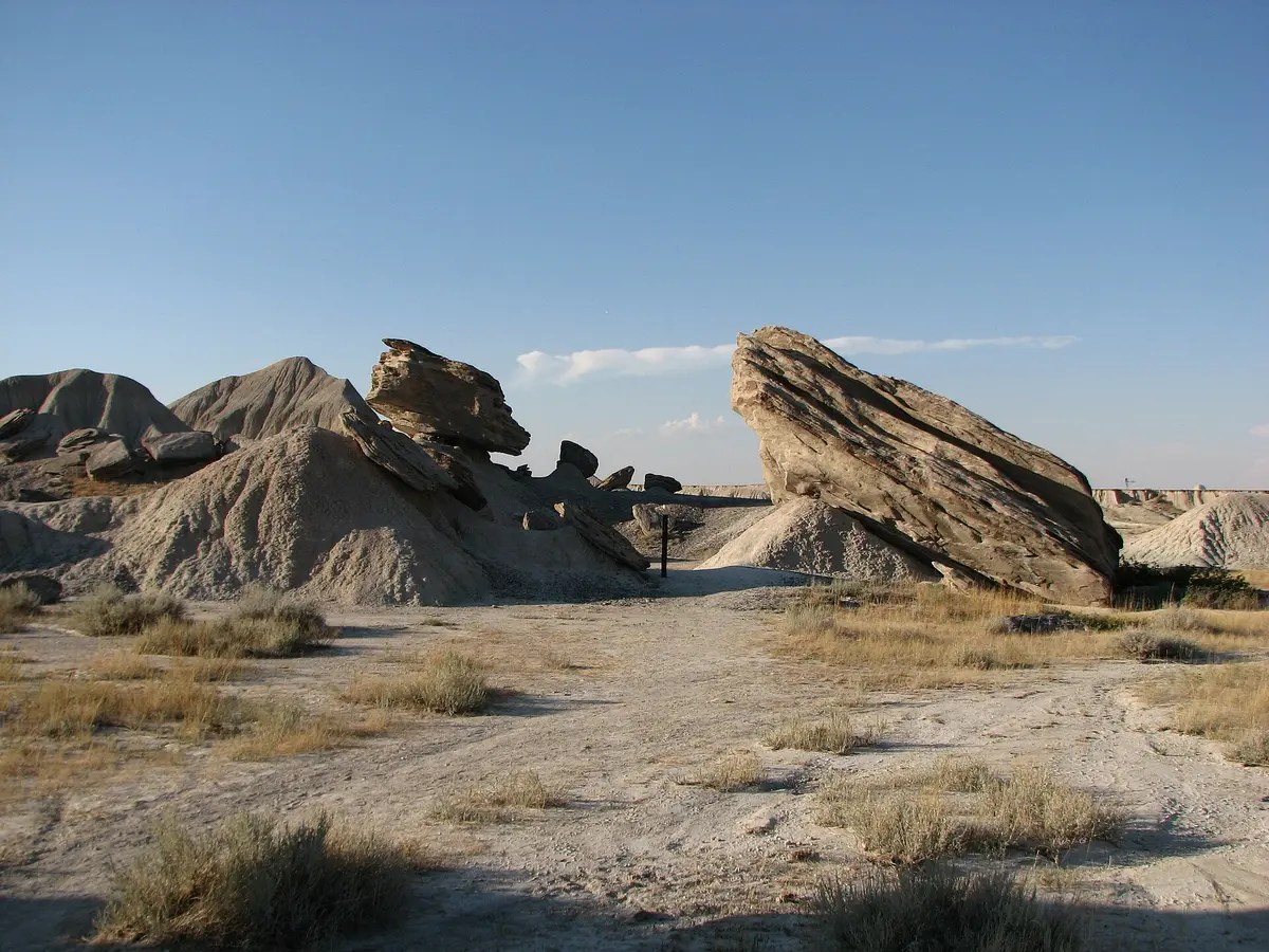
Toadstool Road (Crawford to Hudson-Meng and Toadstool Park)
Oglala National Grassland / Pine Ridge, Nebraska
Oglala Grassland gravel to badlands and a bison bonebed
Photo: Kahvc7 at English Wikipedia / Public domain / Wikimedia Commons
Nav gets you to the trailhead. On the trail, Follow trail shows the line and where you are on it — road directions don't work on dirt trails.
The line joins the trail's waypoints in straight lines — it shows the general route, not every turn.
Toadstool Road is a maintained gravel road that leaves NE 2/71 about 4 miles north of Crawford and follows the BNSF railroad northwest across the Oglala National Grassland toward South Dakota. About 7.4 miles in, Sand Creek Road (FS 905) heads 6.3 miles to the Hudson-Meng bison bonebed and visitor center; a few miles farther on, FS 902 runs about 1.5 miles west, across busy railroad tracks, to Toadstool Geologic Park's campground and its badlands loop trail. The Forest Service warns the roads are very difficult when wet.
Waypoints
- 1Crawford
Take NE 2/71 north about 4 miles to the signed Toadstool Road turnoff.
42.68444, -103.41611
- 2Hudson-Meng Bison Bonebed
Via Sand Creek Road (FS 905), 6.3 miles off Toadstool Road; visitor center open summers only.
42.82832, -103.60141
- 3Toadstool Geologic Park Campground
End of FS 902; trains cross the road often near the turnoff.
42.85806, -103.58389