
Taylor Highway (Tetlin Junction to Eagle)
Fortymile Country, Alaska
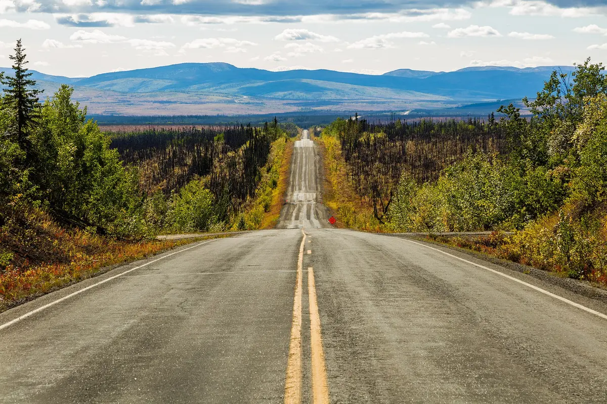
Gold country gravel through Chicken to the Yukon
Photo: Diego Delso / CC BY-SA 4.0 / Wikimedia Commons
Nav gets you to the trailhead. On the trail, Follow trail shows the line and where you are on it — road directions don't work on dirt trails.
The line joins the trail's waypoints in straight lines — it shows the general route, not every turn.
Alaska Route 5 climbs 160 miles from the Alaska Highway near Tok through the Fortymile country, past the gold-rush town of Chicken, to Eagle on the Yukon River. The first 60 miles are paved; the rest is gravel that can be soft, wet or rough. The Walker Fork section and everything north of Jack Wade Junction are narrow and winding with drop-offs and no guardrails, and BLM doesn't recommend large trailers past the junction. DOT&PF keeps it open from about April to mid-October.
Waypoints
- 1Tetlin Junction (MP 0)
Alaska Highway MP 1301.7, about 12 mi east of Tok; fuel in Tok.
63.31174, -142.60300
- 2West Fork Campground (MP 49)
BLM campground on the paved southern section.
63.88765, -142.23949
- 3Walker Fork Campground (MP 82)
BLM campground past Chicken; narrow section with soft shoulders and no guardrails around here.
64.07623, -141.63125
- 4Jack Wade Junction (MP 95.7)
Top of the World Highway heads east to Dawson City; road north to Eagle is rougher and very narrow.
64.13789, -141.34000
- 5Eagle Campground (MP 160)
BLM campground walking distance from Fort Egbert and Eagle on the Yukon.
64.79193, -141.23587