
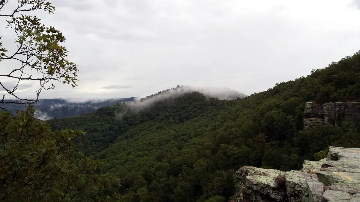
Shores Lake to White Rock Mountain (FR 1505)
Ozark National Forest, Boston Mountains (Franklin County), Arkansas
Gravel climb from a mountain lake to a CCC-built bluff-top overlook
Photo: Brandonrush / CC BY-SA 3.0 / Wikimedia Commons
Nav gets you to the trailhead. On the trail, Follow trail shows the line and where you are on it — road directions don't work on dirt trails.
The line joins the trail's waypoints in straight lines — it shows the general route, not every turn.
A Forest Service gravel road climbs from Shores Lake about 8 miles through the Boston Mountains to White Rock Mountain, a 2,300-foot bluff ringed by a 2-mile rim trail and 1930s CCC stone cabins. The road is easy in dry weather but steep in places, and creeks can rise after storms. FR 1003 on the far side has two landslide closures, so come up FR 1505 from Shores Lake.
Waypoints
- 1Shores Lake Recreation Area
0.5 mi up FR 1505 from AR 215. Lake, campground and Ozark Highlands Trail access.
35.64341, -93.96219
- 2White Rock Mountain Campground
Reached via FR 1505 then FR 1535 for the last 0.5 mi. CCC cabins and lodge (reservations).
35.69171, -93.95702
- 3White Rock Mountain summit and rim trail
Bluff-top overlooks on the rim loop. Elevation about 2,300 ft.
35.69314, -93.95714