
Sheep Mountain Table Road
Badlands National Park - Stronghold Unit (Pine Ridge Reservation), South Dakota
Climb to the highest table in the Badlands
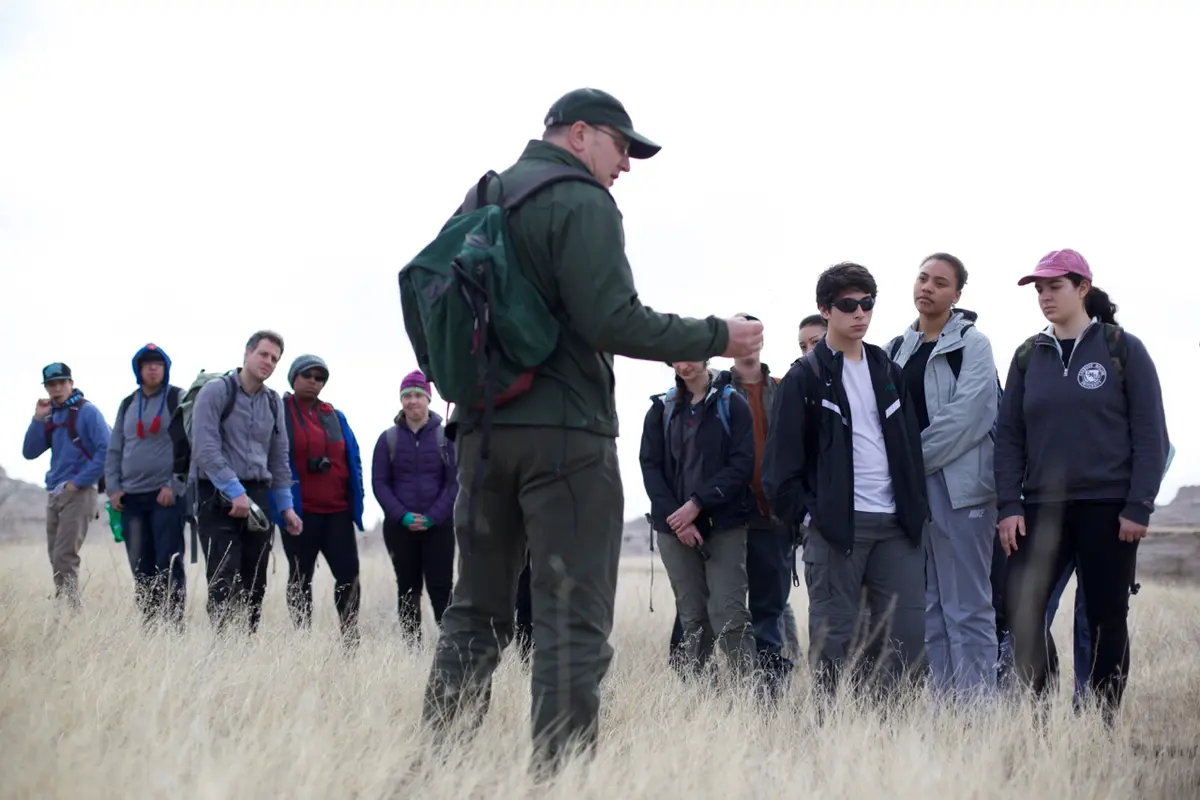
Photo: Representative photo, not this location (Badlands National Park / Public domain / Wikimedia Commons)
Nav gets you to the trailhead. On the trail, Follow trail shows the line and where you are on it — road directions don't work on dirt trails.
The line joins the trail's waypoints in straight lines — it shows the general route, not every turn.
An unpaved road in the Stronghold (South) Unit of Badlands National Park that climbs from SD 27 south of Scenic onto Sheep Mountain Table, the park's highest ground at nearly 3,300 feet. The first five miles are washboarded gravel to an overlook; beyond it a 2.5-mile two-track across the table is limited to high-clearance 4WD, with soft sand, ruts, mud holes and a tight turnaround at the dead end. Do not drive it during or after storms.
Waypoints
- 1Scenic (SD 44 / SD 27)
Drive 4.5 miles south on SD 27; the road leaves on the west side.
43.77961, -102.55361
- 2Sheep Mountain Table Overlook
End of the gravel section; high-clearance 4WD only past here.
43.70810, -102.57810
- 3End of the table
Road ends abruptly at a canyon overlook with little room to turn around.
43.66794, -102.57510