
All trails
Easy · 3/10
Shafer Trail
Canyonlands — Island in the Sky, Utah
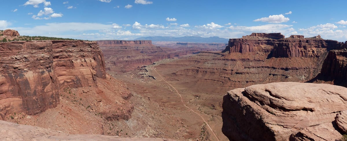
Dramatic switchbacks down the cliff from the Island in the Sky.
Photo: Kognos / CC BY-SA 4.0 / Wikimedia Commons
Nav gets you to the trailhead. On the trail, Follow trail shows the line and where you are on it — road directions don't work on dirt trails.
Length
16 mi
Time
2 hr
Difficulty
3/10 · Easy
Managed by
Canyonlands National Park
Trail line © OpenStreetMap contributors (ODbL).
Shafer Trail drops from the Island in the Sky mesa down a cliff face on tight, exposed switchbacks to the White Rim and on to Potash Road near Moab. It is easy driving in dry weather, but the drop-offs are big and rain or snow can close it.
Waypoints
- 1Start of Shafer Trail
38.47152, -109.81151
- 2Shafer Trail, about 4 mi in
38.45513, -109.81619
- 3Shafer Trail, about 8 mi in
38.46075, -109.75492
- 4Shafer Trail, about 12 mi in
38.47175, -109.70089
- 5End of Shafer Trail
38.49066, -109.67295