
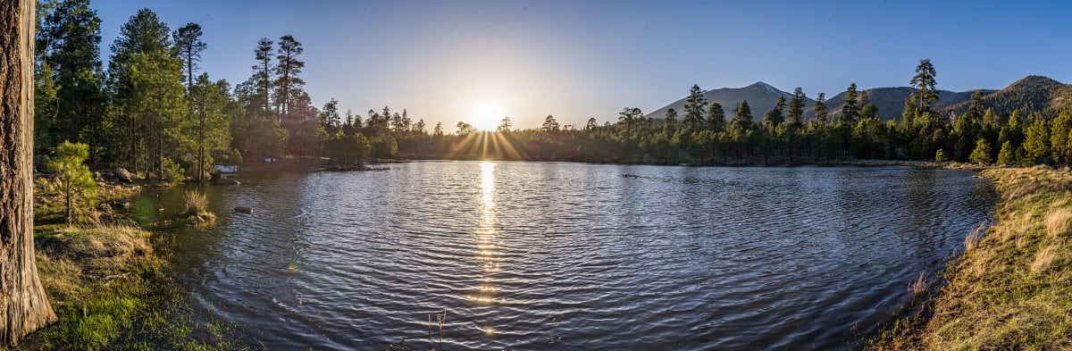
Schultz Pass Road
Flagstaff, Arizona
Easy forest road between the San Francisco Peaks and Mount Elden
Photo: Forest Service, USDA / Public domain / Wikimedia Commons
Nav gets you to the trailhead. On the trail, Follow trail shows the line and where you are on it — road directions don't work on dirt trails.
The line joins the trail's waypoints in straight lines — it shows the general route, not every turn.
Forest Road 420 cuts from Highway 180 just north of Flagstaff over Schultz Pass between the San Francisco Peaks and the Dry Lake Hills, then drops east through the 2010 Schultz Fire scar to US 89. It is a washboarded, occasionally rutted gravel road that passenger cars can usually manage in dry weather. At the 8,000-ft pass, Schultz Tank is a popular picnic stop and the Arizona Trail crosses the road; fall aspens make it a favorite autumn drive.
Waypoints
- 1Schultz Pass Road off Highway 180
onX 'Schultz Pass' trail-map anchor (onX does not label it as the start); consistent with the FR 420 turnoff from Hwy 180 described by AZOffroad.
35.24376, -111.66171
- 2Schultz Pass (Arizona Trail crossing)
Arizona Trail Association Passage 32 'Northern Access Point: Schultz Pass (FR 420)'. ~4.6 mi per AZOffroad.
35.28684, -111.62627
- 3Schultz Tank Trailhead
Coordinates per Coconino NF Schultz Tank page. Waypoints verified only to here; FR 420 continues ~8.6 mi east to US 89 (no coordinates verified).
35.28638, -111.62673