
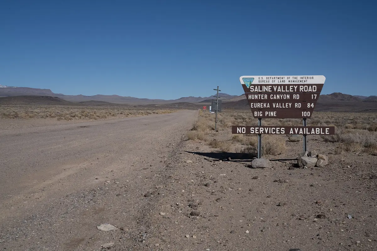
Saline Valley Road
Panamint Springs / Big Pine, California
Ninety remote miles across Death Valley's wildest valley
Photo: blmcalifornia / Public domain / Wikimedia Commons
Nav gets you to the trailhead. On the trail, Follow trail shows the line and where you are on it — road directions don't work on dirt trails.
The line joins the trail's waypoints in straight lines — it shows the general route, not every turn.
Saline Valley Road is an Inyo County dirt road that crosses Death Valley National Park's Saline Valley from Highway 190 to the Big Pine side, climbing over South Pass and North Pass on the way. It passes the Joshua tree forest at Lee Flat, the salt flats and old salt tram ruins near Salt Lake, and the turnoff for the warm springs. Expect washboard, sharp rock and sand, no services, and snow or flood closures on the passes.
Waypoints
- 1South entrance at Highway 190
9.5 miles east of the CA-136 junction
36.33067, -117.71400
- 2Lee Flat
Joshua tree forest about 8 miles in (GNIS point for the flat)
36.48605, -117.63090
- 3Salt Lake
Salt flats on the valley floor near the old salt tram (GNIS point for the lake)
36.70400, -117.80959
- 4North Pass
Higher, better-maintained northern pass; verified points end here, road continues north to Death Valley/Big Pine Road and CA-168
37.03416, -117.97473