
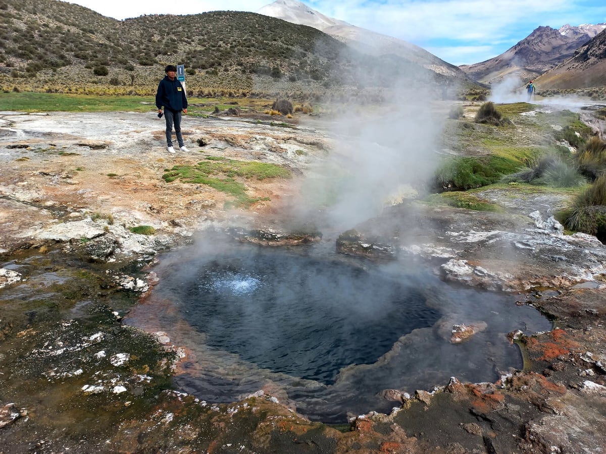
Sajama National Park Tracks (Geysers – Sajama – Huañacota)
Sajama National Park, Sajama Province, Oruro Department, Bolivia
Dirt tracks below Bolivia's highest peak, linking geysers, hot springs and an altiplano lake.
Photo: Q'orikenti / CC BY-SA 4.0 / Wikimedia Commons
Nav gets you to the trailhead. On the trail, Follow trail shows the line and where you are on it — road directions don't work on dirt trails.
The line joins the trail's waypoints in straight lines — it shows the general route, not every turn.
From Sajama village (4,230 m) at the foot of Nevado Sajama, rough park tracks fan out across the altiplano. One heads west to the Juntuma geyser field, which has a free camp area and a parking lot; the last couple of kilometres are narrow and bumpy, with two small river crossings. Another runs north past the Colchani hot springs to Sajama Lake (Laguna Huañacota), about 12 km from the village. The whole area sits above 4,200 m, nights are freezing, and wind picks up in the afternoons. Llamas and vicuñas share the tracks.
Waypoints
- 1Sajama Geysers (Juntuma) camp
Coordinates from the komoot 'Sajama Geysers' highlight (6327421), 4,390 m. Per iOverlander, there is a free camp with shelters, and the last 2 km are narrow with two small river crossings.
-18.09727, -69.02999
- 2Sajama Village
Coordinates from the komoot 'Sajama Village' highlight (6327431), 4,230 m. This is the park gateway with lodging and food.
-18.13603, -68.97685
- 3Colchani Hot Springs
Coordinates from the komoot 'Colchani Hot Springs' highlight (6327428), 4,300 m. Hot pools with Sajama views; entry fee applies.
-18.08943, -68.97734
- 4Sajama Lake (Laguna Huañacota)
Coordinates from the Sajama Lake Wikipedia page (18.033°S, 68.950°W, 4,401 m). Wikivoyage puts Laguna Huayna Khota about 12 km by road north of the village.
-18.03300, -68.95000