
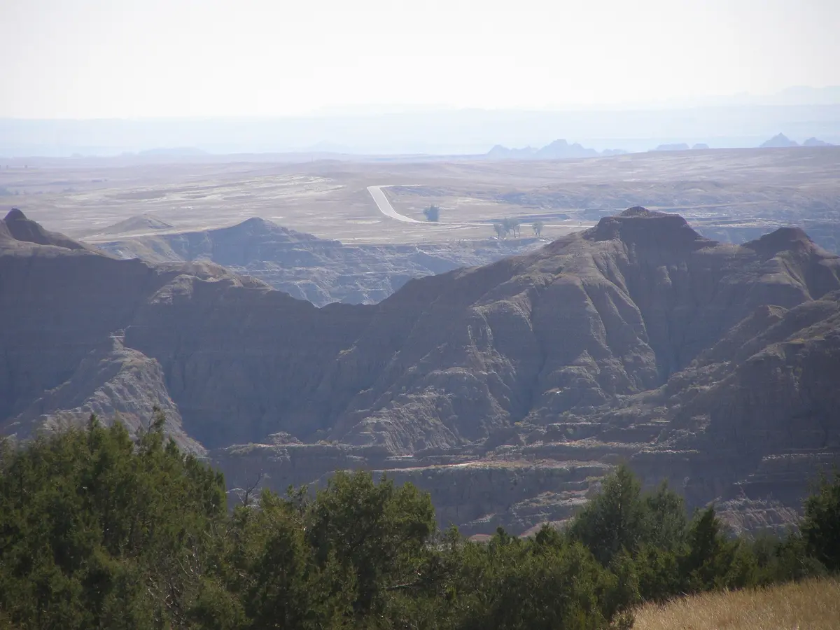
Sage Creek Rim Road
Badlands National Park (North Unit), South Dakota
Bison, prairie dogs and badlands walls on a gravel rim drive
Photo: Chris Light / CC BY-SA 4.0 / Wikimedia Commons
Nav gets you to the trailhead. On the trail, Follow trail shows the line and where you are on it — road directions don't work on dirt trails.
The line joins the trail's waypoints in straight lines — it shows the general route, not every turn.
The unpaved western half of Badlands National Park's scenic drive, running from the Pinnacles Overlook along the rim of the Sage Creek Basin to the free primitive campground and on toward Scenic on SD 44. It is a graded dirt-and-gravel road fine for most vehicles when dry, with pullouts overlooking the Badlands Wilderness and Roberts Prairie Dog Town. The bentonite clay turns slick and sticky after rain or snow, and the park temporarily closes it in bad weather.
Waypoints
- 1Pinnacles Overlook
Pavement ends just north of the overlook on the Badlands Loop Road (SD 240); turn west onto Sage Creek Rim Road.
43.86946, -102.23332
- 2Roberts Prairie Dog Town
Large black-tailed prairie dog colony beside the road; bison often nearby.
43.90520, -102.30700
- 3Sage Creek Campground
Free first-come primitive campground on Sage Creek Road.
43.89388, -102.41239
- 4Scenic (SD 44)
Sage Creek Road meets SD 44 just east of Scenic.
43.77961, -102.55361