
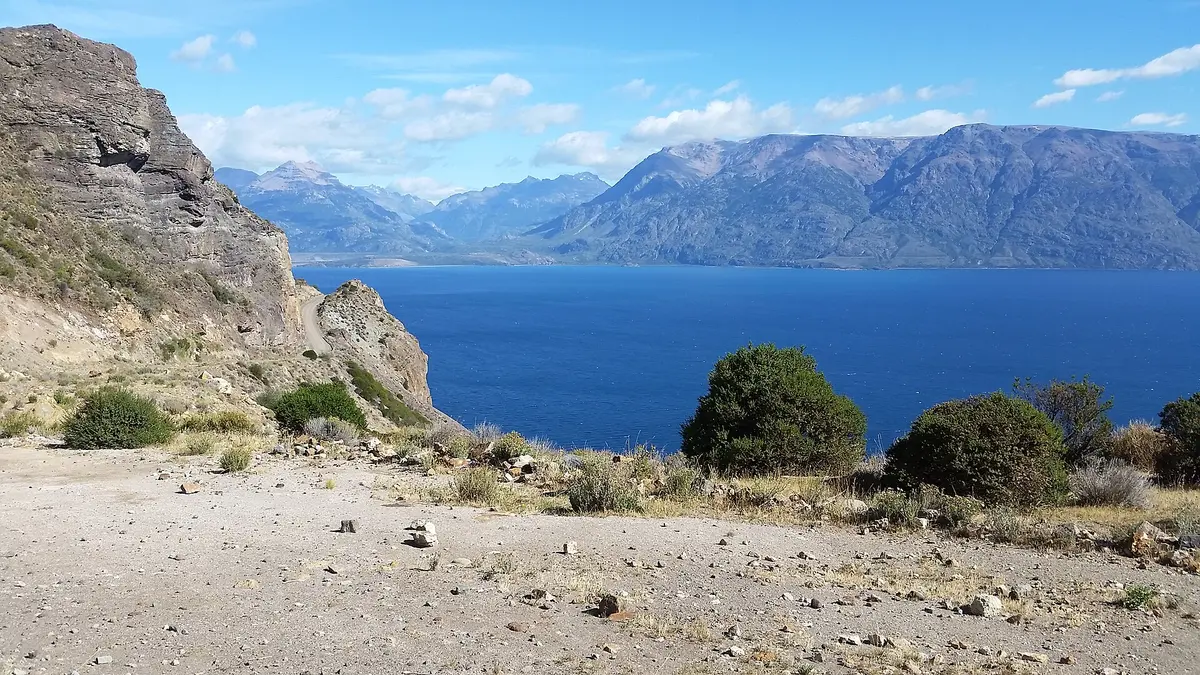
Ruta X-265: Puerto Guadal to Chile Chico (Paso Las Llaves)
General Carrera Province, Aysén Region, Chile
Cliff-hung gravel along the south shore of Lago General Carrera
Photo: Representative photo, not this location (Abbagliati / CC BY-SA 4.0 / Wikimedia Commons)
Nav gets you to the trailhead. On the trail, Follow trail shows the line and where you are on it — road directions don't work on dirt trails.
The line joins the trail's waypoints in straight lines — it shows the general route, not every turn.
A 120 km roller-coaster of dirt, stone and sand linking the Carretera Austral with the border town of Chile Chico along the turquoise south shore of Lago General Carrera. The crux is Paso Las Llaves, a narrow shelf road cut into cliffs with tight hairpins, steep blind descents and no guardrails. Expect strong wind, rain squalls and no services between Mallín Grande and Chile Chico; only the final kilometres near Chile Chico are paved.
Waypoints
- 1Ruta 7 junction south of Puerto Guadal
Western route marker (point A) from the embedded Google Map on dangerousroads.org CH-265 page; route begins at the Carretera Austral near Puerto Guadal.
-46.90075, -72.78215
- 2Lakeshore section (dangerousroads map pin)
Single pin from the first embedded Google Map on the dangerousroads.org CH-265 page; unlabelled, on the lakeside stretch between Mallín Grande and Fachinal.
-46.60110, -72.33410
- 3Chile Chico
Town coordinates from the Wikipedia article 'Chile Chico' (IPFS mirror).
-46.54028, -71.72222