
Ruta 201-CH: Coñaripe to Paso Carirriñe
Panguipulli, Valdivia Province, Los Ríos Region, Chile
Quiet summer-only border road from Lago Calafquén past Liquiñe hot springs to the Argentine frontier
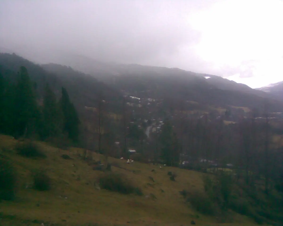
Photo: Representative photo, not this location (Dentren / CC BY-SA 3.0 / Wikimedia Commons)
Nav gets you to the trailhead. On the trail, Follow trail shows the line and where you are on it — road directions don't work on dirt trails.
The line joins the trail's waypoints in straight lines — it shows the general route, not every turn.
Route 201-CH runs from Coñaripe on Lago Calafquén up through the hot-springs village of Liquiñe to Paso Carirriñe on the Argentine border at about 1,150-1,223 m. The Chilean side is mostly narrow pavement with the final stretch to the pass on gravel, while the Argentine continuation (RP 62 toward San Martín / Junín de los Andes) is a rough, narrow, little-maintained forest road where locals use 4WD. The pass is closed most of the year by snow, slides and roadworks.
Waypoints
- 1Coñaripe
Start on Lago Calafquén (route point on the dangerousroads.org map)
-39.57507, -71.99686
- 2Liquiñe
Hot-springs village; last services before the pass
-39.73472, -71.85417
- 3Paso Carirriñe
Border pass, high point about 1,223 m; gravel on the final stretch, Argentine RP 62 beyond
-39.78300, -71.70000