
Rubicon Trail
Lake Tahoe, California
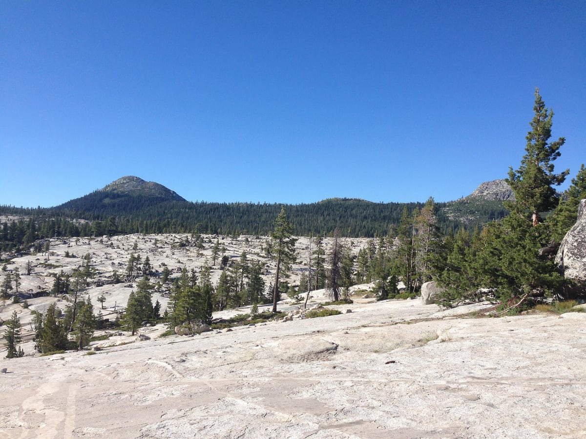
The benchmark of American rock crawling — granite slabs from Loon Lake to Lake Tahoe.
Photo: Nv494 / CC BY-SA 4.0 / Wikimedia Commons
Nav gets you to the trailhead. On the trail, Follow trail shows the line and where you are on it — road directions don't work on dirt trails.
Trail line © OpenStreetMap contributors (ODbL).
The Rubicon Trail crosses the Sierra Nevada from the Loon Lake area to Tahoma on Lake Tahoe, over granite slabs, boulder fields and famous obstacles such as the Little Sluice and Cadillac Hill. It's the trail Jeep named its toughest Wrangler after, and most groups take two days, camping at Rubicon Springs. Only well-built rigs with experienced drivers should attempt it.
Waypoints
- 1Rubicon Trail west end, near Loon Lake
39.01150, -120.32547
- 2Granite slabs west of Rubicon Springs
39.02076, -120.27579
- 3Rubicon Springs
39.03454, -120.22554
- 4McKinney–Rubicon Springs Road
39.04599, -120.16828
- 5Tahoma, Lake Tahoe
39.07046, -120.14023