
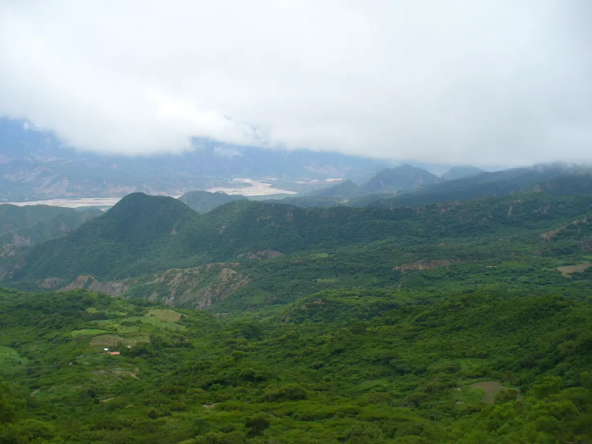
RP 13A over Abra de la Santa Cruz
Salta-Jujuy border, northwest of Humahuaca, Argentina
A 46 km rocky climb to a 4,597 m pass on the Salta-Jujuy border
Photo: jmage / CC BY 2.0 / Wikimedia Commons
Nav gets you to the trailhead. On the trail, Follow trail shows the line and where you are on it — road directions don't work on dirt trails.
The line joins the trail's waypoints in straight lines — it shows the general route, not every turn.
Provincial road 13A crosses Abra de la Santa Cruz at 4,597 m, linking Abra del Sauce in Salta with Casillas in Jujuy. The road is entirely unpaved, narrow in places, steep, twisting and covered in loose gravel and rock. Fuel, supplies and help are almost nonexistent, and altitude sickness is a real risk above 4,000 m.
Waypoints
- 1East end (Salta side, toward Abra del Sauce)
First point of the source route map
-22.63979, -65.15961
- 2High section
Route point from the source map on the climb
-22.66423, -65.27410
- 3High section (west)
Route point from the source map near the pass area
-22.64064, -65.29404
- 4West end (toward Casillas, Jujuy)
Last point of the source route map
-22.72784, -65.36038