
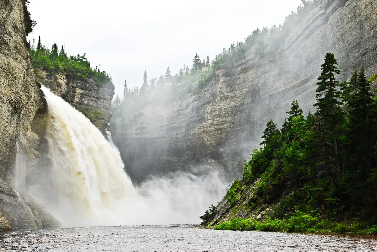
Route Transanticostienne (Anticosti Island)
Île d'Anticosti, Côte-Nord, Canada
Island-long gravel road from Port-Menier to the wild east end
Photo: Thosetimes / CC BY-SA 4.0 / Wikimedia Commons
Nav gets you to the trailhead. On the trail, Follow trail shows the line and where you are on it — road directions don't work on dirt trails.
The line joins the trail's waypoints in straight lines — it shows the general route, not every turn.
Anticosti's main road runs about 204 km from the village of Port-Menier on the western tip to the outfitters and airstrips of the island's east, crossing Anticosti National Park along the way. Apart from a short paved stretch near Port-Menier it is gravel, shared with logging trucks and the island's abundant white-tailed deer. Fuel is only sold in Port-Menier and at two information centres, so carry two mounted spares and extra gas; the side trip to the Vauréal canyon and falls is the highlight.
Waypoints
- 1Port-Menier
Only village on the island; fuel, rentals, ferry dock.
49.81882, -64.35268
- 2Chute Vauréal (Vauréal Falls)
76 m falls and canyon in Anticosti National Park, short spur off the main road.
49.56021, -62.69342
- 3Eastern sector road end
Eastern terminus area of the main road (outfitters and airstrips).
49.41783, -62.23996