
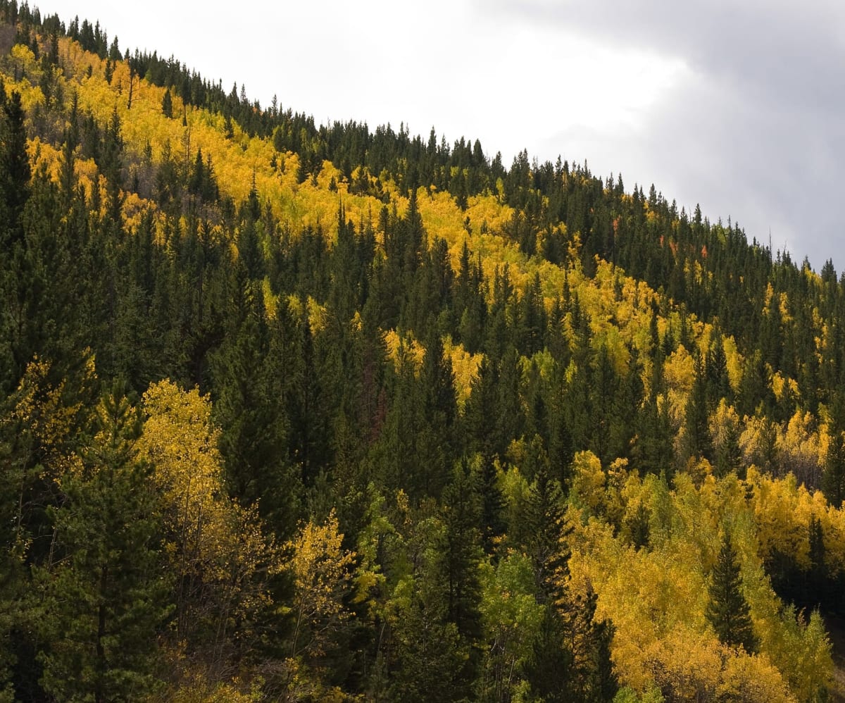
Rollins Pass
Winter Park / Rollinsville, Colorado
The old Moffat Road railroad grade up to the Continental Divide.
Photo: KimonBerlin / CC BY-SA 2.0 / Wikimedia Commons
Nav gets you to the trailhead. On the trail, Follow trail shows the line and where you are on it — road directions don't work on dirt trails.
Trail line © OpenStreetMap contributors (ODbL).
Rollins Pass follows the grade of the historic Moffat Road railroad, which crossed the Continental Divide here before the Moffat Tunnel opened. From the Winter Park side a long, gentle but rough road climbs to the summit at about 11,670 ft with wide views and old railroad remnants. The route does not continue through to the east side, so plan an out-and-back.
Waypoints
- 1Start of Rollins Pass Road
39.93383, -105.68317
- 2Rollins Pass Road, about 4 mi in
39.92416, -105.66608
- 3Rollins Pass Road, about 7 mi in
39.92296, -105.63855
- 4Rollins Pass Road, about 11 mi in
39.91272, -105.60981
- 5End of Rollins Pass Road
39.90512, -105.63119