
Point Abbaye Road
Abbaye Peninsula, Baraga County (Copper Country State Forest), Michigan
Muddy gravel logging road to the tip of the Abbaye Peninsula
Photo: RomanKahler / CC BY-SA 4.0 / Wikimedia Commons
Nav gets you to the trailhead. On the trail, Follow trail shows the line and where you are on it — road directions don't work on dirt trails.
Trail line © OpenStreetMap contributors (ODbL).
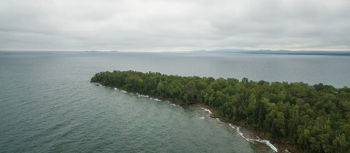
The Abbaye Peninsula between Keweenaw Bay and Huron Bay has no paved road to any point on it. Point Abbaye Road runs north through second-growth pulpwood forest, past Keweenaw Land Trust preserves, to a small county park on the rocky Lake Superior shelves at the tip. Most vehicles can make it in summer, but spring snowmelt leaves long mud patches. Logging spurs branch off and can easily lead you astray, and cell service is unreliable, so download maps before you go. The road is not plowed to the end in winter.
Waypoints
- 1Aura
Peninsula community reached from L'Anse by Skanee Road and Townline Road. Turn right only onto Point Abbaye Road.
46.86278, -88.31972
- 2Point Abbaye
Northeastern tip of the peninsula, with Lake Superior on three sides.
46.96604, -88.14401
- 3Point Abbaye County Park
Road-end parking with an outhouse, a short trail, rock shelves and three walk-in campsites.
46.96340, -88.12970