
Pinyon Mountain Road
Borrego Springs / Blair Valley, California
Anza-Borrego's classic one-way squeeze and Heart Attack Hill
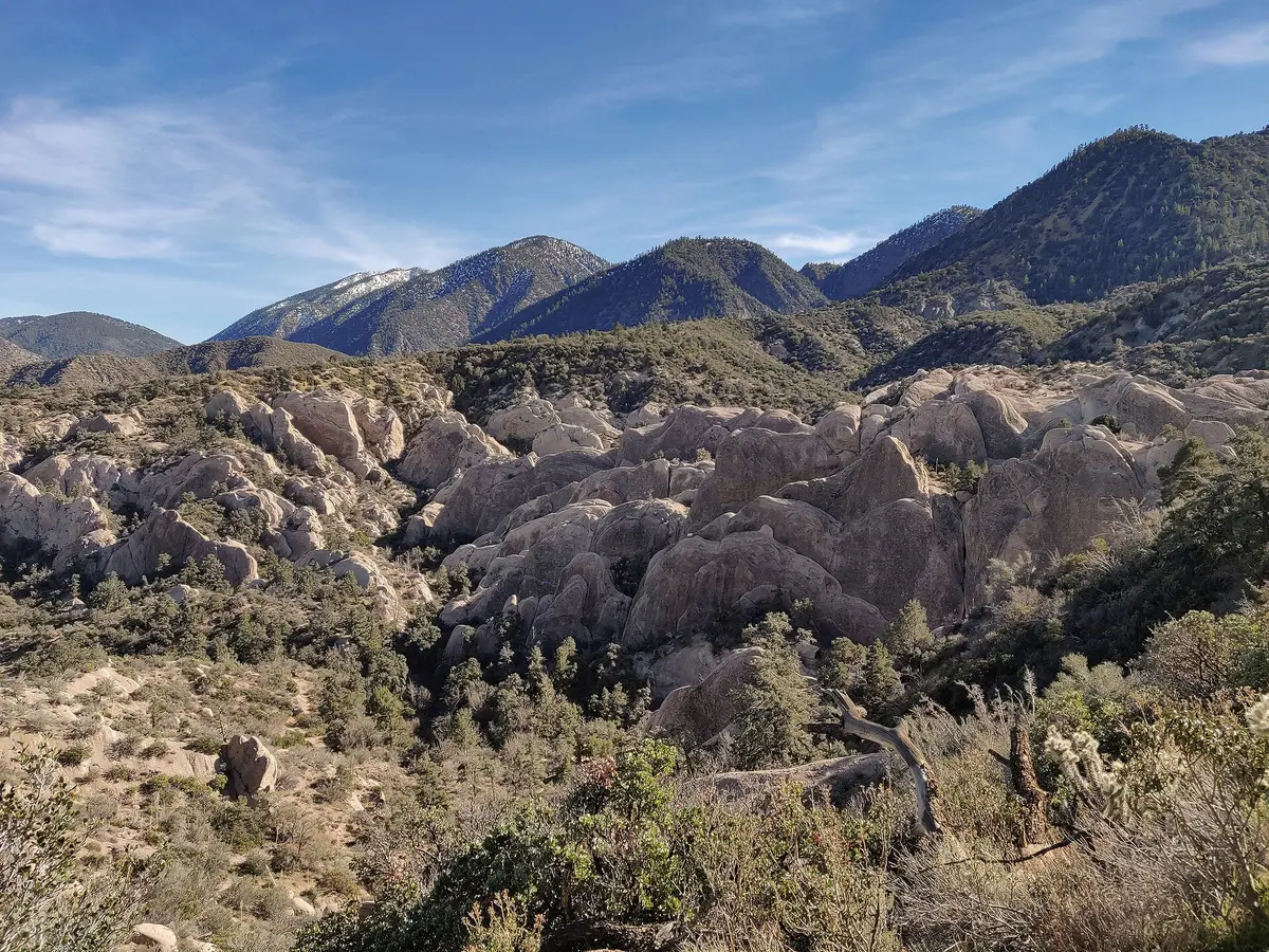
Photo: Representative photo, not this location (Matthew Dillon / CC BY 2.0 / Wikimedia Commons)
Nav gets you to the trailhead. On the trail, Follow trail shows the line and where you are on it — road directions don't work on dirt trails.
The line joins the trail's waypoints in straight lines — it shows the general route, not every turn.
Pinyon Mountain Road leaves County Route S2 near Blair Valley and climbs two-way into Pinyon Mountain Valley before turning into a one-way, west-to-east descent. The famous Squeeze is an 83-inch-wide rock gap on an off-camber drop, followed by a rock garden, a dry waterfall and the steep, rutted Heart Attack Hill. Street-legal registered vehicles only inside the state park.
Waypoints
- 1Pinyon Mountain Road turnoff from S2
Leave County Route S2; two-way section climbs toward Pinyon Mountain Valley
33.05683, -116.42072
- 2The Squeeze
83 in rock gap on an off-camber descent; one-way past here
33.04937, -116.31155
- 3Heart Attack Hill
Steep rutted drop; storm washouts can make it much harder
33.04892, -116.29993
- 4Split Rock
Below Heart Attack Hill; route continues down Hapaha Flats to Pinyon Wash
33.04473, -116.27273