
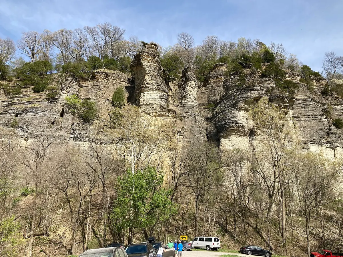
Pine Hills Road (FR 236, Shawnee NF)
LaRue-Pine Hills / Shawnee National Forest, Union County, Illinois
Gravel bluff-top road above the Mississippi floodplain
Photo: ZFT / CC BY-SA 4.0 / Wikimedia Commons
Nav gets you to the trailhead. On the trail, Follow trail shows the line and where you are on it — road directions don't work on dirt trails.
The line joins the trail's waypoints in straight lines — it shows the general route, not every turn.
Forest Road 236 climbs by switchback from Winters Pond at the foot of the LaRue-Pine Hills bluffs, then runs south along the ridgeline of the Shawnee National Forest with pull-offs and short trails to cliff overlooks such as Inspiration Point and McGee Hill. The surface is coarse gravel with ruts from runoff, narrow one-lane stretches, and three low-water bridges near the south end that can turn into shallow creek crossings after heavy rain. It finishes at Pine Hills Campground just above the State Forest blacktop road near Wolf Lake.
Waypoints
- 1Winters Pond (north end, off LaRue Road)
Start at the foot of the bluffs; the road switchbacks up the 350 ft bluff line from here.
37.58391, -89.44049
- 2McGee Hill
801 ft hilltop on the ridge beside the road; short walk to the summit.
37.54671, -89.43393
- 3Pine Hills Campground (south end)
USFS campground ($10/night, cash or check) 0.07 mi north of the State Forest blacktop road; low-water bridges just north of here.
37.51556, -89.42222