
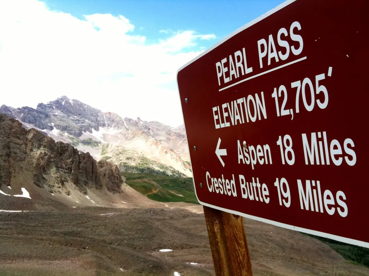
Pearl Pass
Crested Butte / Aspen, Colorado
Rugged 12,700 ft crossing of the Elk Mountains from Crested Butte to Aspen
Photo: TRAILSOURCE.COM / CC BY 2.0 / Wikimedia Commons
Nav gets you to the trailhead. On the trail, Follow trail shows the line and where you are on it — road directions don't work on dirt trails.
The line joins the trail's waypoints in straight lines — it shows the general route, not every turn.
Pearl Pass links the Brush Creek valley above Crested Butte with Castle Creek outside Aspen, topping out on a 12,700 ft saddle next to the Maroon Bells-Snowmass Wilderness. Expect boulder fields, ledges, several creek crossings, a talus switchback and narrow shelf sections. Snow often keeps the north side blocked until late summer, and some years the pass never fully opens.
Waypoints
- 1Brush Creek kiosk / parking
South-side start off FR 738 above Crested Butte
38.89689, -106.88487
- 2First creek crossing
Water crossing early on the climb
38.90031, -106.88119
- 3Second creek crossing
Water crossing in the middle Brush Creek valley
38.91422, -106.85421
- 4Twin Lakes trailhead
Hiking trailhead spur
38.95434, -106.85928
- 5Rocky section below the pass
Start of ledges and rocky sections
38.96255, -106.83414
- 6Pearl Pass summit
About 12,705 ft
38.97945, -106.82378
- 7North-side rock field
Rocky descent toward Castle Creek
38.99759, -106.84050
- 8Waterfall
Waterfall beside the road on the north side
39.00500, -106.83720
- 9Castle Creek end (north side)
Continue on Castle Creek Road to Aspen
39.02939, -106.80780