
Paso Pichachén via Laguna del Laja
Antuco, Biobío Region, Chile
Summer-only gravel border pass beneath Antuco volcano
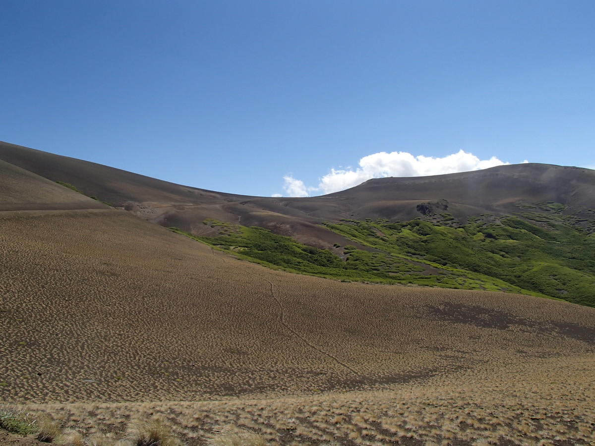
Photo: Representative photo, not this location (Vrac / CC BY-SA 4.0 / Wikimedia Commons)
Nav gets you to the trailhead. On the trail, Follow trail shows the line and where you are on it — road directions don't work on dirt trails.
The line joins the trail's waypoints in straight lines — it shows the general route, not every turn.
From the town of Antuco the route follows the Laja valley past Antuco volcano and along the lava-fringed shore of Laguna del Laja, then climbs to the 2,060 m Pichachén pass on the Argentine border. dangerousroads.org describes the international route as unpaved, very curvy and unmaintained in winter. It is a quiet, seasonal crossing that only opens in summer, with big day-to-night temperature swings.
Waypoints
- 1Antuco
Wikipedia infobox 37°19′49″S 71°40′24″W.
-37.33028, -71.67333
- 2Laguna del Laja
Wikipedia (Laja Lake) 37°19′S 71°18′W (lake centre).
-37.31700, -71.30000
- 3Paso Pichachén (2,060 m)
Wikipedia infobox 37°27′16″S 71°08′10″W.
-37.45444, -71.13611