
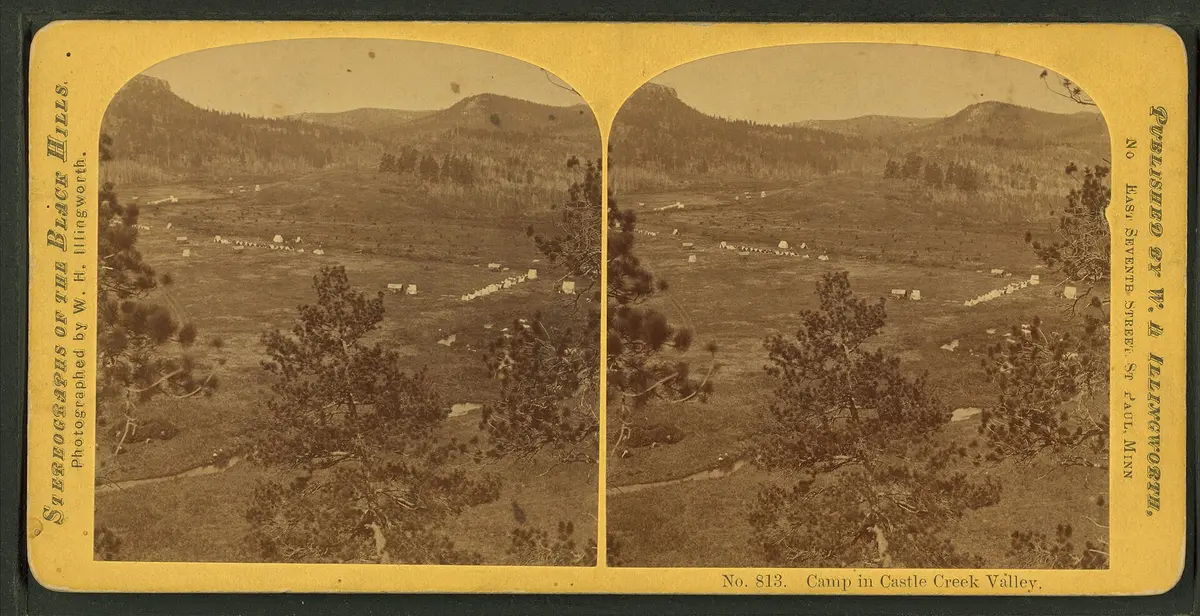
Mystic Road & Castle Peak Road (FSR 181)
Black Hills National Forest - Mystic Ranger District, South Dakota
Ghost-town gravel to a remote creekside campground
Photo: Illingworth, W. H. (William H.), 1842-1893 -- Photographer / Public domain / Wikimedia Commons
Nav gets you to the trailhead. On the trail, Follow trail shows the line and where you are on it — road directions don't work on dirt trails.
The line joins the trail's waypoints in straight lines — it shows the general route, not every turn.
A central Black Hills backroad linking the old mining camps of Rochford, Mystic and Castleton on the gravel Mystic Road, then turning onto Forest Service Road 181 for a rough, narrow eight-mile run down Castle Creek to the primitive Castle Peak Campground. The first half is a county gravel road beside the Mickelson Trail corridor; the forest road section is slow, rocky in spots and best in a high-clearance vehicle. Expect snow to block FSR 181 in winter.
Waypoints
- 1Rochford
Tiny mining town on the gravel road to Mystic.
44.12443, -103.71964
- 2Mystic
Ghost town at Mystic Road (CR 231) and George Frink Road.
44.07694, -103.64167
- 3Castleton marker
Historical marker on Mystic Road; turn onto Castleton/Castle Peak Road (FSR 181).
44.06299, -103.65533
- 4Castle Peak Campground
Primitive FS campground; last 8 miles on FSR 181 are rough and narrow.
44.08011, -103.72697