
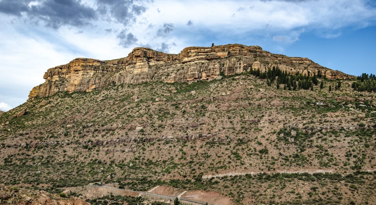
Mount Moorosi to Ketane Valley
Ketane, Quthing District, Lesotho
Degraded gravel and 4x4-only sections from the Senqu River up the remote Ketane Valley
Photo: Lschefa / CC BY-SA 4.0 / Wikimedia Commons
Nav gets you to the trailhead. On the trail, Follow trail shows the line and where you are on it — road directions don't work on dirt trails.
The line joins the trail's waypoints in straight lines — it shows the general route, not every turn.
From the main road beyond Mount Moorosi, an unmarked turn crosses the Senqu River and climbs on badly eroded gravel to the Bethel community centre, then a guided track follows the Ketane River up a remote valley to riverside camping. The valley road is mostly graded but has tricky sections only a 4x4 will manage. A local guide must be booked at Bethel to enter the valley, and the Bethel road is impassable when the Senqu floods.
Waypoints
- 1Unmarked turn after Mount Moorosi
Turn over tarred Senqu bridge onto eroded gravel. S30°14.071' E27°52.537' from Getaway 4x4 Guide to Lesotho (2018).
-30.23452, 27.87562
- 2Bethel (BBCDC)
Book guide here; basic guesthouse. S30°14.392' E27°51.055' from Getaway.
-30.23987, 27.85092
- 3Ketane Valley riverside camp
Guided camping on the Ketane River. S29°59.373' E27°54.076' from Getaway.
-29.98955, 27.90127