
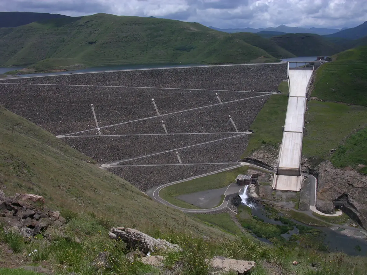
Mohale Dam Gravel Loop
Maseru District, central Lesotho highlands (Mohale reservoir), Lesotho
Service roads along the shores of the Mohale reservoir
Photo: David Love / Public domain / Wikimedia Commons
Nav gets you to the trailhead. On the trail, Follow trail shows the line and where you are on it — road directions don't work on dirt trails.
The line joins the trail's waypoints in straight lines — it shows the general route, not every turn.
This route leaves the tar at the end of Blue Mountain Pass on gravel, crosses a small arm of the Mohale reservoir and follows its western slopes for about 23 km to a fork. From there it winds on service roads past livestock and crosses the dam bridge to the visitors' centre near the dam wall. The route is mostly gravel and possible in a high-clearance 2WD when dry.
Waypoints
- 1Gravel turn-off at end of Blue Mountain Pass
S29°28.678' E28°2.871' per Getaway.
-29.47797, 28.04785
- 2Fork (keep right)
About 23 km from the turn-off. The left branch returns to the top of Blue Mountain Pass on gravel.
-29.39040, 28.03493
- 3Bend, turn right over the dam bridge
S29°23.967' E28°6.473'. Cross the bridge toward the visitors' centre.
-29.39945, 28.10788
- 4Mohale Lodge
S29°28.708' E28°3.705'.
-29.47847, 28.06175