
Millican Plateau OHV Area
Millican Valley between Bend and Prineville, Deschutes/Crook counties, Oregon
High-desert juniper trails in BLM's 255-mile Millican Valley system
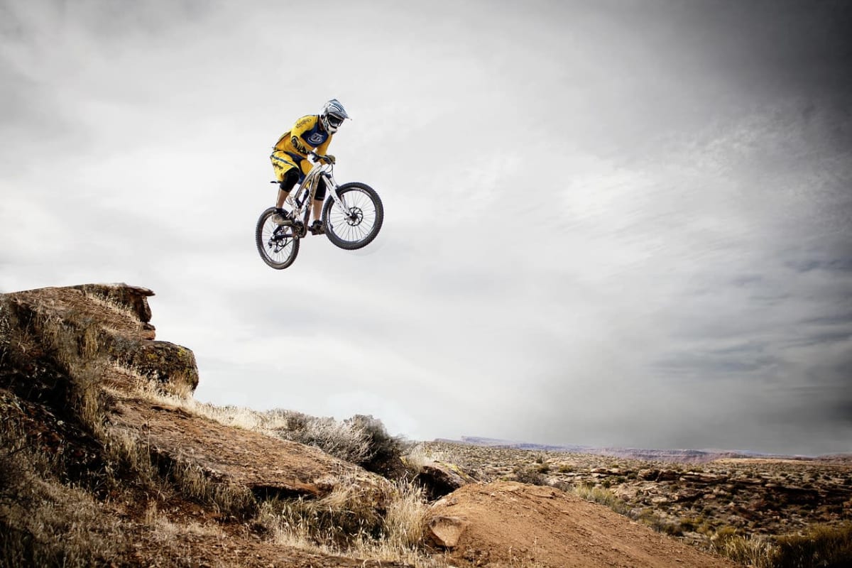
Photo: Representative photo, not this location (12019 / Pixabay)
Nav gets you to the trailhead. On the trail, Follow trail shows the line and where you are on it — road directions don't work on dirt trails.
The line joins the trail's waypoints in straight lines — it shows the general route, not every turn.
The Millican Plateau is the year-round core of BLM's Millican Valley OHV Trail System east of Bend, which has 255 miles of designated routes, nine staging areas and three play areas in juniper and sagebrush country. Staging at Alfalfa Curves, Corral and the Reservoir Road play area all reach the plateau's loops on Trails 55 and 80. North and South Millican close seasonally, but the plateau stays open.
Waypoints
- 1Alfalfa Curves OHV Staging Area
BLM Alfalfa Curves page coordinates
44.06693, -120.94870
- 2Corral OHV Staging Area
BLM Corral OHV Staging Area page coordinates
44.09586, -120.91015
- 3Reservoir Road OHV Play Area (Trails 55 & 80)
BLM Reservoir Road OHV Play Area page coordinates
44.08204, -120.82101