
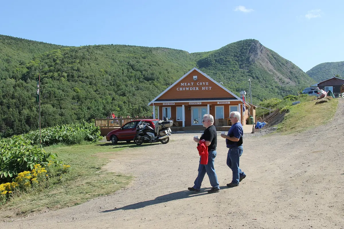
Meat Cove Road (Capstick to Meat Cove)
Cape Breton Highlands / Cape North, Canada
Eight km of cliff-edge gravel to the northern tip of Cape Breton
Photo: jockrutherford from Owen Sound, ON / CC BY-SA 2.0 / Wikimedia Commons
Nav gets you to the trailhead. On the trail, Follow trail shows the line and where you are on it — road directions don't work on dirt trails.
The line joins the trail's waypoints in straight lines — it shows the general route, not every turn.
Meat Cove Road leaves the Bay St. Lawrence Road at St. Margaret Village and runs 13.2 km west along the Capstick coast to Meat Cove, the northernmost community in Nova Scotia. The pavement ends just past Capstick, and the last 8 km is a narrow, curvy gravel shelf with steep grades where loose gravel can cost traction. Locals have pushed for repairs to potholes and washouts, so drive it slowly and expect oncoming traffic on blind corners.
Waypoints
- 1St. Margaret Village (Bay St. Lawrence Road junction)
Start of Meat Cove Road at its junction with the Bay St Lawrence Road; paved to start.
46.98518, -60.47137
- 2Capstick
Pavement ends just west of Capstick; gravel for the last 8 km.
47.00025, -60.50837
- 3Meat Cove
End of the road in Meat Cove; campground and lodge in the community.
47.02540, -60.56120