
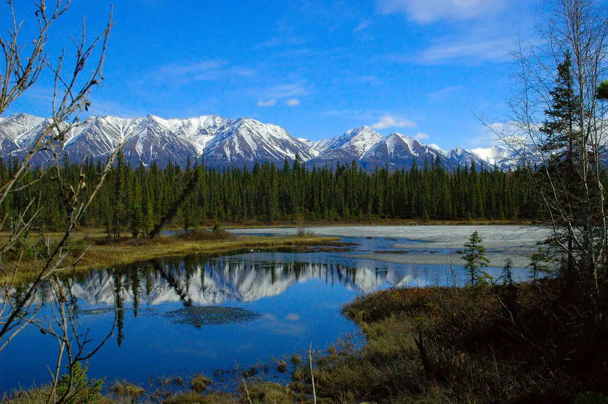
McCarthy Road (Chitina to Kennicott River)
Wrangell-St. Elias National Park and Preserve, Alaska
60 miles of old railbed into Wrangell-St. Elias
Photo: Sewtex / CC BY-SA 3.0 / Wikimedia Commons
Nav gets you to the trailhead. On the trail, Follow trail shows the line and where you are on it — road directions don't work on dirt trails.
The line joins the trail's waypoints in straight lines — it shows the general route, not every turn.
The McCarthy Road follows the bed of the defunct Copper River and Northwestern Railway from Chitina to the Kennicott River, where it ends at a footbridge into McCarthy and Kennecott. It is unpaved, potholed and washboarded, and old railroad ties and spikes still surface. Highlights are the single-lane Kuskulana Bridge 238 ft above the river and the 1911 Gilahina Trestle. Most passenger vehicles manage it in normal summer conditions; allow about two hours each way.
Waypoints
- 1Copper River Bridge, Chitina (MP 1.4)
Road starts at the state wayside in Chitina (Edgerton Hwy MP 33); last fuel before McCarthy is earlier.
61.52559, -144.41262
- 2Kuskulana River Bridge (MP 17.2)
Single-lane former railroad bridge 238 ft above the river; don't stop on it.
61.48867, -144.01566
- 3Gilahina Trestle Wayside (MP 29)
1911 timber railroad trestle; short trail from the wayside.
61.43799, -143.71877
- 4Kennicott River Footbridge (MP 59.4)
Road ends; park and walk the footbridge to McCarthy (1/2 mi) and Kennecott (5 mi).
61.43389, -142.94108