
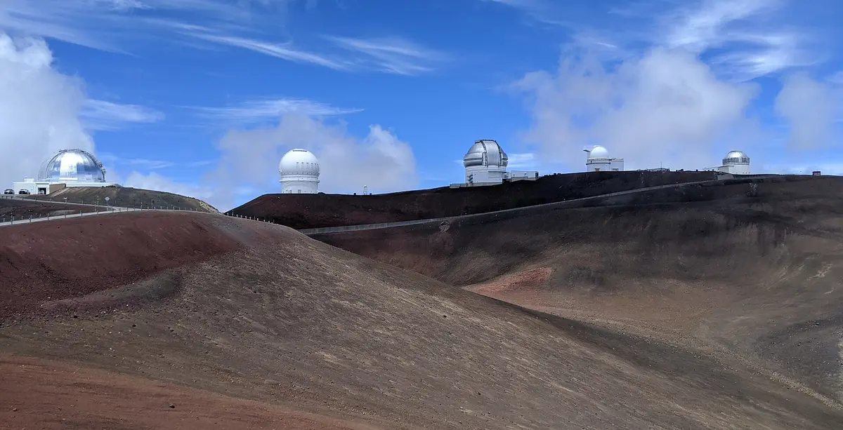
Mauna Kea Summit Access Road
Mauna Kea (Hawaii Island), Hawaii
Saddle Road to 13,800 ft, with 4.5 miles of steep gravel
Photo: Leijurv / CC BY-SA 4.0 / Wikimedia Commons
Nav gets you to the trailhead. On the trail, Follow trail shows the line and where you are on it — road directions don't work on dirt trails.
The line joins the trail's waypoints in straight lines — it shows the general route, not every turn.
The Mauna Kea Access Road climbs about 14.6 miles from Saddle Road (Route 200) to the observatory complex near the 13,803 ft summit. Pavement runs to the Visitor Information Station at about 9,200 ft; just past it comes roughly 4.5 miles of steep graded gravel where a true 4WD with low range is required, followed by pavement again near the top. Stop at the VIS to acclimatize, and expect closures for snow, ice and high wind. Most rental companies prohibit summit travel.
Waypoints
- 1Mauna Kea Access Road at Saddle Road
Junction with Route 200 across from Puu Huluhulu; paved climb begins.
19.68960, -155.46652
- 2Mana Road junction
South end of the 40-mile Mana Road dirt route around Mauna Kea.
19.71247, -155.44781
- 3Visitor Information Station (Hale Pohaku)
About 9,200 ft; acclimatize here. Pavement ends ~300 yards beyond and 4.5 miles of steep gravel begin (4WD low range).
19.75917, -155.45611
- 4Maunakea Observatories (summit area)
Observatory complex near the 13,803 ft summit.
19.82220, -155.47490