
Mana Road (Waimea to Mauna Kea Access Road)
Mauna Kea / Waimea (Hawaii Island), Hawaii
Forty miles of ranch dirt around the flanks of Mauna Kea
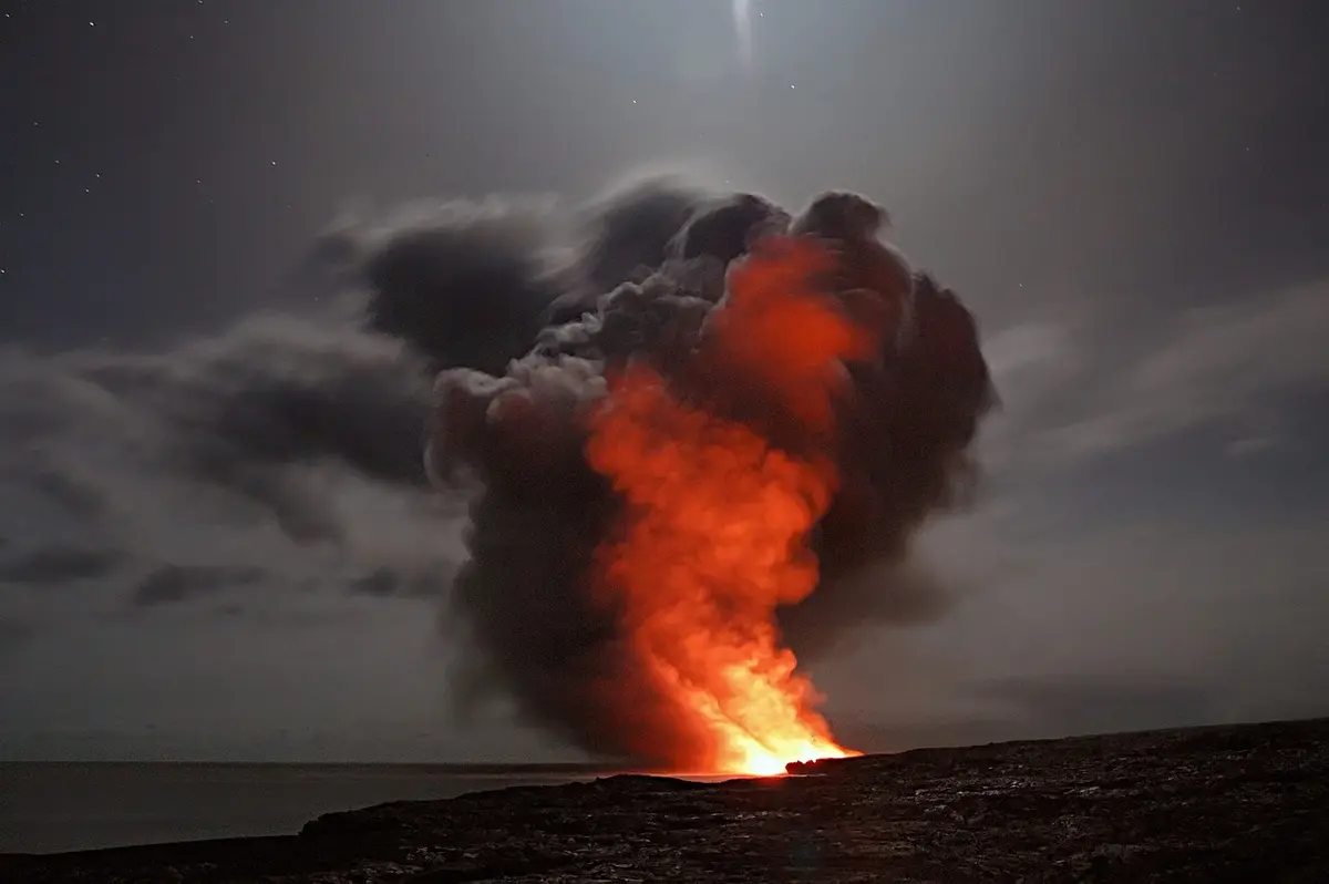
Photo: Representative photo, not this location (doctor-a / Pixabay)
Nav gets you to the trailhead. On the trail, Follow trail shows the line and where you are on it — road directions don't work on dirt trails.
The line joins the trail's waypoints in straight lines — it shows the general route, not every turn.
One of the Big Island's oldest dirt roads, Mana Road leaves Mamalahoa Highway near Waimea and contours roughly 40 miles around the north and east flanks of Mauna Kea before meeting the summit access road above Saddle Road. Only the first few miles are paved; beyond that it is red dirt and hard-packed gravel with loose rock, deep ruts and mud holes, passing old stone walls, eucalyptus windbreaks, koa forest and an abandoned ranch station. Mostly ranch traffic and hunters use it, so watch for livestock, and skip it after heavy rain. Most rental companies prohibit driving it, even in 4WD rentals.
Waypoints
- 1Mana Road at Mamalahoa Highway (Waimea)
Leaves Highway 19 east of Waimea; pavement ends about 3 miles in at Mealani Road.
20.03029, -155.63932
- 2Mana Road, Waimea uplands
Open Parker Ranch pastureland with views down to the Hamakua coast.
20.00081, -155.57152
- 3Mana Road, northeast flank
Rutted red-dirt middle section; muddy after rain.
19.94288, -155.40234
- 4Mana Road, east flank
Koa forest and old stone walls as the road swings south around the mountain.
19.79269, -155.33856
- 5Mana Road at Mauna Kea Access Road
Joins the paved summit access road a short way above Saddle Road.
19.71247, -155.44781