
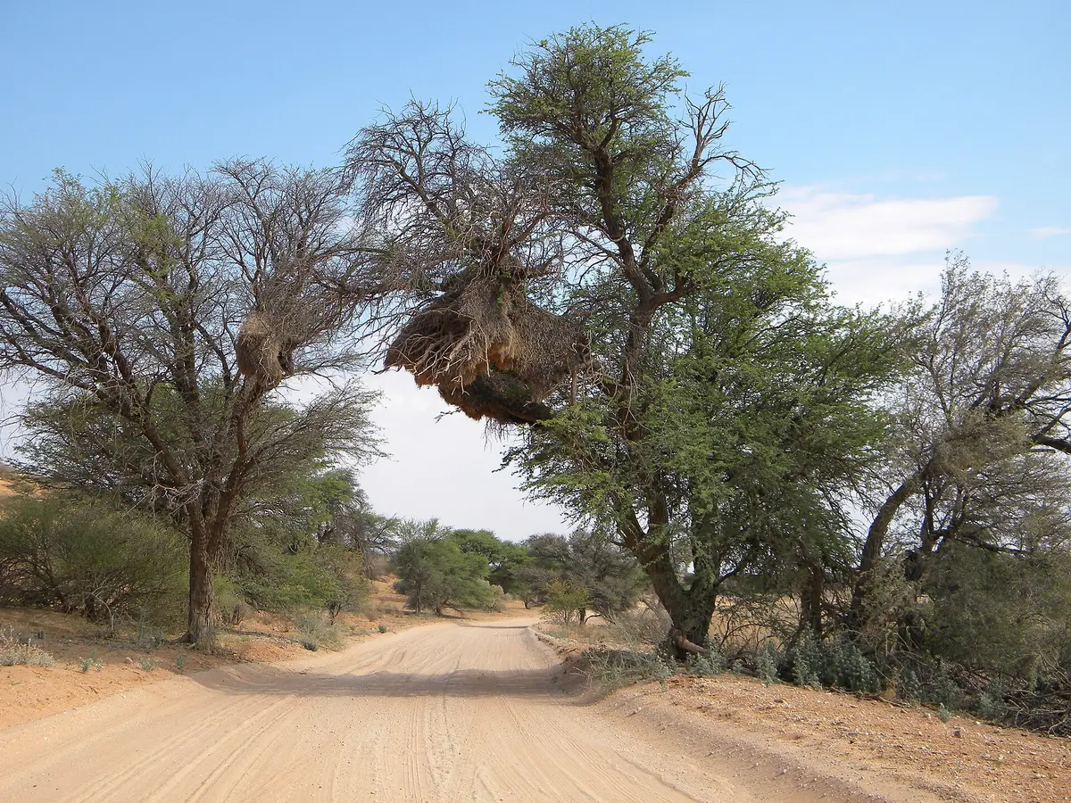
Mabuasehube via the Tsabong Sand Road
Mabuasehube, Kgalagadi District, Botswana
110 km of thick Kalahari sand from outside Tsabong to the Mabuasehube Eastern Gate
Photo: NeilMoll / CC0 / Wikimedia Commons
Nav gets you to the trailhead. On the trail, Follow trail shows the line and where you are on it — road directions don't work on dirt trails.
The line joins the trail's waypoints in straight lines — it shows the general route, not every turn.
The southern approach to the Botswana side of the Kgalagadi Transfrontier Park leaves the tar just outside Tsabong and runs about 110 km north on a sandy track to the Mabuasehube Eastern Gate. The sand is thick and the middle hump is high, so it is noticeably harder going with a trailer, and stuck 4x4s are not unusual. Inside the reserve the tracks are two-spoor sand with a few rocky limestone stretches linking red-sand pans and their camps.
Waypoints
- 1Tsabong turn-off
Start of the sand route just outside Tsabong (S26 00.918 E22 24.327); deflate tyres here
-26.01530, 22.40545
- 2Mabuasehube Eastern Gate
Park entry (S25 04.982 E22 09.444); gate campsites and a water tap
-25.08303, 22.15740
- 3Mabuasehube pans
Reserve location per Wikipedia (approximate); pan campsites at Mabuasehube, Lesholoago, Monamodi, Khiding, Bosobogolo and Mpayathutlwa
-25.12000, 22.00000