
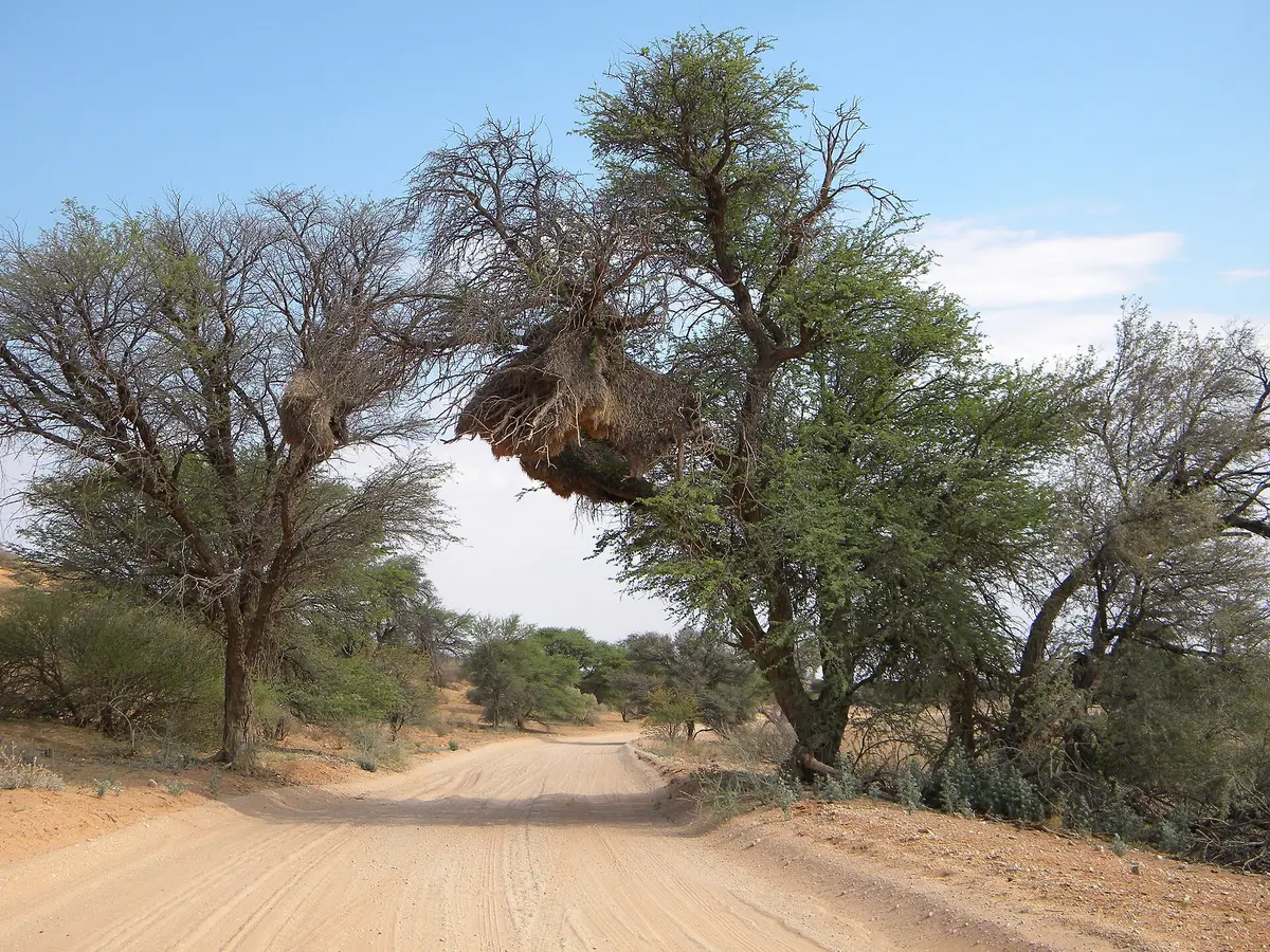
Mabuasehube via the Kokotsha Cutline
Mabuasehube, Kgalagadi District, Botswana
The most-used way into Mabuasehube: a 136 km cutline of sand and corrugations
Photo: NeilMoll / CC0 / Wikimedia Commons
Nav gets you to the trailhead. On the trail, Follow trail shows the line and where you are on it — road directions don't work on dirt trails.
The line joins the trail's waypoints in straight lines — it shows the general route, not every turn.
This eastern approach to Mabuasehube turns off the tar about 10 km north of Kokotsha and follows a cutline west for around 136 km to the Eastern Gate. How it drives depends on when it was last graded, and it can be badly corrugated, but it is the route most visitors use. Expect sand from the moment you leave the tar and no services until the park.
Waypoints
- 1Kokotsha cutline turn-off
Turn-off about 10 km north of Kokotsha (S24 51.198 E23 15.978); tar ends, sand begins
-24.85330, 23.26630
- 2Mabuasehube Eastern Gate
About 136 km from the turn-off (S25 04.982 E22 09.444)
-25.08303, 22.15740
- 3Mabuasehube pans
Reserve location per Wikipedia (approximate)
-25.12000, 22.00000