
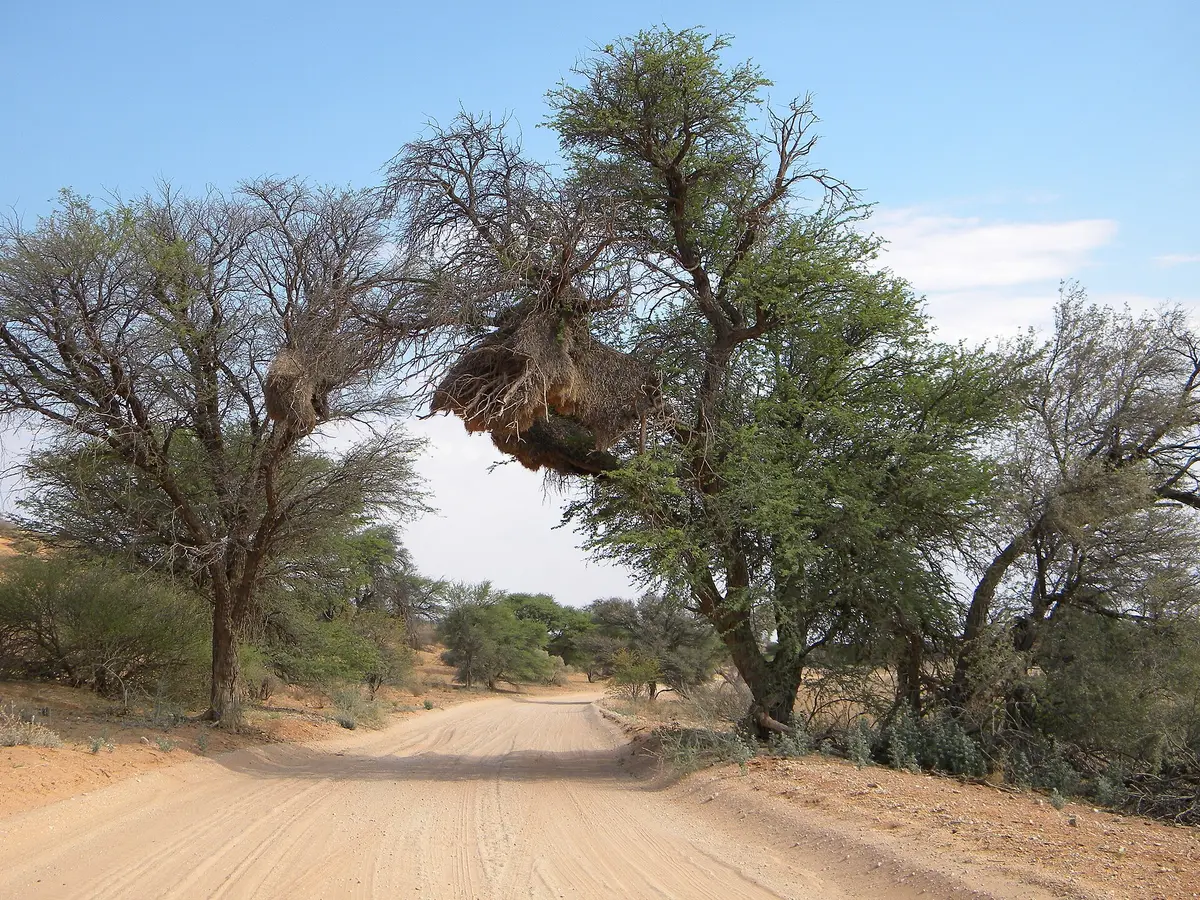
Mabuasehube via the Kang Cutline
Kgalagadi District (Kang to Mabuasehube), Botswana
The long way in: 164 km along a veterinary fence from south of Kang
Photo: NeilMoll / CC0 / Wikimedia Commons
Nav gets you to the trailhead. On the trail, Follow trail shows the line and where you are on it — road directions don't work on dirt trails.
The line joins the trail's waypoints in straight lines — it shows the general route, not every turn.
The northern approach to Mabuasehube starts at a radio tower about 32 km south of Kang. Pass the tower on its far side, pick up the track beside the veterinary fence and stay on the fence's southern side for about 164 km to the Eastern Gate. It is a long, lonely sand run with no fuel or water on the way.
Waypoints
- 1Radio tower south of Kang
About 32 km south of Kang (S23 53.868 E22 57.209); pass the tower on its far side and follow the vet fence on its southern side
-23.89780, 22.95348
- 2Mabuasehube Eastern Gate
About 164 km from the turn-off (S25 04.982 E22 09.444)
-25.08303, 22.15740
- 3Mabuasehube pans
Reserve location per Wikipedia (approximate)
-25.12000, 22.00000