
Lincoln Gap Road
Lincoln / Warren, Vermont
One of the steepest roads in the US, over the Green Mountains at the Long Trail crossing.
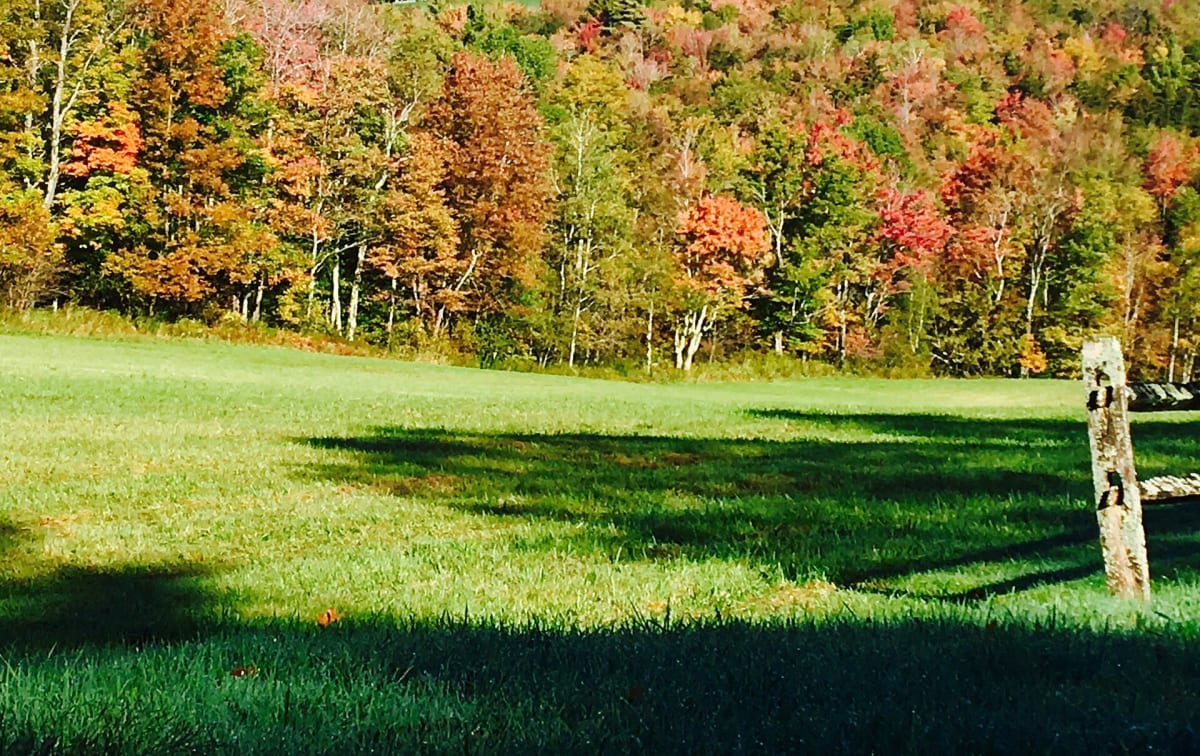
Photo: usfs_Eastern_Region / Public domain / Wikimedia Commons
Nav gets you to the trailhead. On the trail, Follow trail shows the line and where you are on it — road directions don't work on dirt trails.
Trail line © OpenStreetMap contributors (ODbL).
Lincoln Gap Road climbs over the spine of the Green Mountains between Lincoln and Warren, with grades on the eastern side among the steepest of any paved road in the country, plus gravel sections lower down. The Long Trail crosses at the top. It is closed in winter and not suitable for trailers or large vehicles.
Waypoints
- 1Start of Lincoln Gap Road
44.09529, -72.98239
- 2Lincoln Gap Road, about 2 mi in
44.08905, -72.94954
- 3Lincoln Gap Road, about 4 mi in
44.09443, -72.92350
- 4Lincoln Gap Road, about 6 mi in
44.10013, -72.89489
- 5End of Lincoln Gap Road
44.10779, -72.85925