
Liard Highway (Liard Trail, NWT Highway 7)
Dehcho Region, Canada
254 km of gravel through bison country to the Nahanni gateway
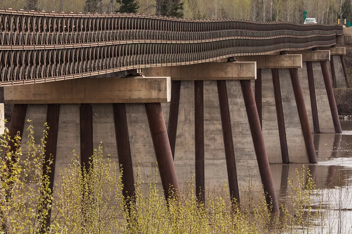
Photo: Representative photo, not this location (Maciej / CC BY-SA 2.0 / Wikimedia Commons)
Nav gets you to the trailhead. On the trail, Follow trail shows the line and where you are on it — road directions don't work on dirt trails.
The line joins the trail's waypoints in straight lines — it shows the general route, not every turn.
The NWT section of the Liard Highway is an unpaved gravel road running from the BC border past Fort Liard and the Nahanni Butte access road to the Mackenzie Highway near Fort Simpson. It crosses remote boreal forest along the Liard River valley with Mackenzie Mountain views, and wood bison are common on the road. Services are few: Fort Liard, Blackstone Territorial Park and Fort Simpson. The final leg to Fort Simpson uses the Lafferty Ferry (summer) or an ice bridge (winter) on Highway 1, with no crossing during break-up and freeze-up.
Waypoints
- 1Fort Liard
Community about 6 km off Hwy 7 at NWT km 37.6; fuel with limited hours.
60.23917, -123.47528
- 2Nahanni Butte
Dene community across the Liard River from the access road at NWT km 138.9; boat in summer, ice bridge in winter. Gateway to Nahanni National Park Reserve.
61.03560, -123.38320
- 3Blackstone Territorial Park
NWT km 150.3 on the Liard River; campground and visitor centre, mid-May to end of September.
61.09507, -122.86607
- 4Fort Simpson Territorial Park
Reached via Hwy 1 from Checkpoint (paved 60 km) and the Lafferty Ferry / ice bridge on the Liard River.
61.85470, -121.34290