
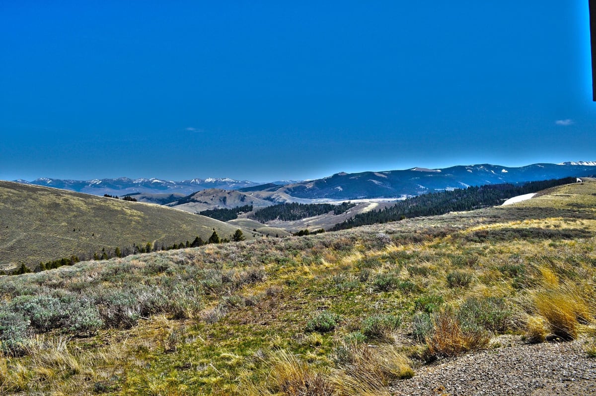
Lewis and Clark Back Country Byway
Tendoy / Lemhi Valley, south of Salmon, Idaho
36-mile gravel loop over Lemhi Pass on the Continental Divide
Photo: Representative photo, not this location (BLMIdaho / Public domain / Wikimedia Commons)
Nav gets you to the trailhead. On the trail, Follow trail shows the line and where you are on it — road directions don't work on dirt trails.
The line joins the trail's waypoints in straight lines — it shows the general route, not every turn.
This single-lane gravel loop from Tendoy climbs Warm Springs Wood Road along the Continental Divide to Lemhi Pass, where Lewis's party first crossed the divide in August 1805, then drops back down tight Agency Creek Road. Grades approach 20 percent, slopes are steep and unguarded, and there are about 4,000 ft of climbing and descending. Passenger cars with good tires manage it in summer, but buses, RVs and trailers should stay off Agency Creek.
Waypoints
- 1Tendoy
Wikipedia coordinates; byway mile 0 on Idaho Highway 28, 19 miles south of Salmon.
44.95937, -113.64478
- 2Sharkey Hot Springs
BLM coordinates; about 2 miles along FR 185 (Warm Springs Wood Road), byway mile 4.8. Fee for soaking.
45.01058, -113.61204
- 3Lemhi Pass
Wikipedia coordinates, 7,373 ft. National Historic Landmark on the Continental Divide, byway mile 23.5.
44.97417, -113.44500
- 4Agency Creek Campground
BLM coordinates; four free primitive sites about 4 miles from Tendoy on Agency Creek Road.
44.94993, -113.55809
- 5Tendoy
Loop returns to Tendoy at byway mile 36.
44.95937, -113.64478