
Last Dollar Road
Telluride / Ridgway, Colorado
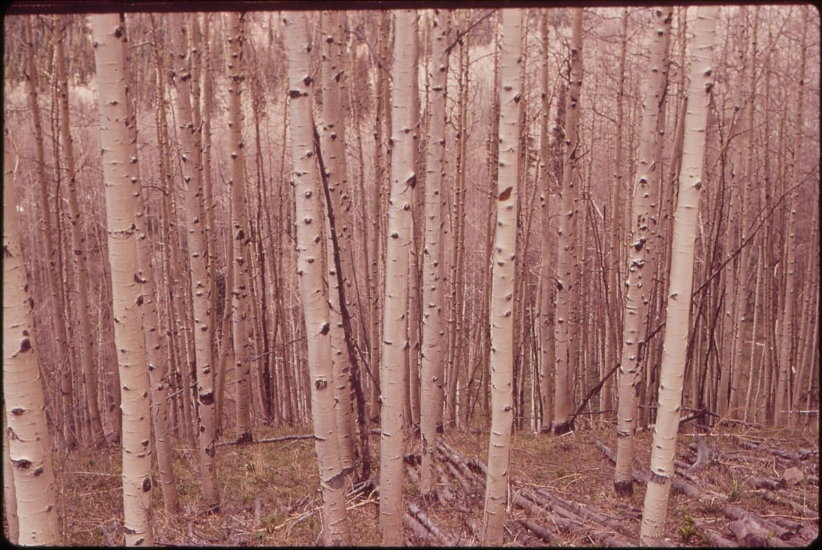
A back road between Telluride and Ridgway through aspen groves and ranch meadows.
Photo: Representative photo, not this location (The U.S. National Archives / No restrictions / Wikimedia Commons)
Nav gets you to the trailhead. On the trail, Follow trail shows the line and where you are on it — road directions don't work on dirt trails.
Trail line © OpenStreetMap contributors (ODbL).
Last Dollar Road links the Telluride airport area with the Dallas Divide near Ridgway, crossing a ridge through dense aspen forest and open ranch country with views of the Sneffels Range. It is an easy drive when dry and one of the best fall-color routes in Colorado; mud after rain can make it slick.
Waypoints
- 1Start of Last Dollar Road
37.95077, -107.86826
- 2Last Dollar Road, about 5 mi in
37.96703, -107.92158
- 3Last Dollar Road, about 10 mi in
38.00580, -107.95341
- 4Last Dollar Road, about 15 mi in
38.05053, -107.95717
- 5End of Last Dollar Road
38.09992, -107.91242