
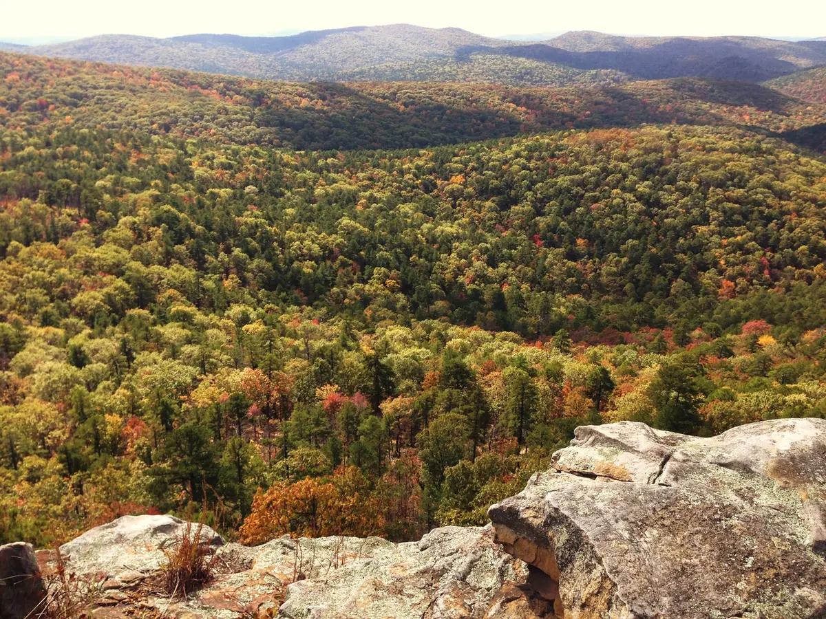
Lake Sylvia to Flatside Pinnacle (Winona Auto Tour, FR 132 / FR 94)
Ouachita National Forest, Perry County (Flatside Wilderness edge), Arkansas
Ouachita ridge gravel to two of the best sunset pinnacles in Arkansas
Photo: Jason Ronza / CC BY-SA 4.0 / Wikimedia Commons
Nav gets you to the trailhead. On the trail, Follow trail shows the line and where you are on it — road directions don't work on dirt trails.
The line joins the trail's waypoints in straight lines — it shows the general route, not every turn.
This route follows the eastern end of the Forest Service's Winona Auto Tour, a 26-mile gravel route on FR 132. You leave Lake Sylvia, pass the North Fork Pinnacle hike-up overlook, then take FR 94 north 3 miles to Flatside Pinnacle, a rock outcrop beside the Flatside Wilderness with nearly 360-degree views. The gravel can be loose, washboarded or muddy, and long single-lane stretches mean you'll be watching for wide spots to pass.
Waypoints
- 1Lake Sylvia Recreation Area
Off AR 324, 4 mi from AR 9. Managed by Arkansas State Parks. Take FR 152 for 1.5 mi to FR 132.
34.86762, -92.82241
- 2North Fork Pinnacle
Summit point. Park on FR 132 near tour mile 18.6 and hike about 0.5 mi uphill.
34.86009, -92.85100
- 3Flatside Pinnacle
Summit point. From FR 132 at about mile 17.3, take FR 94 north 3 mi to the parking area, then climb a short, steep trail.
34.87315, -92.90962