
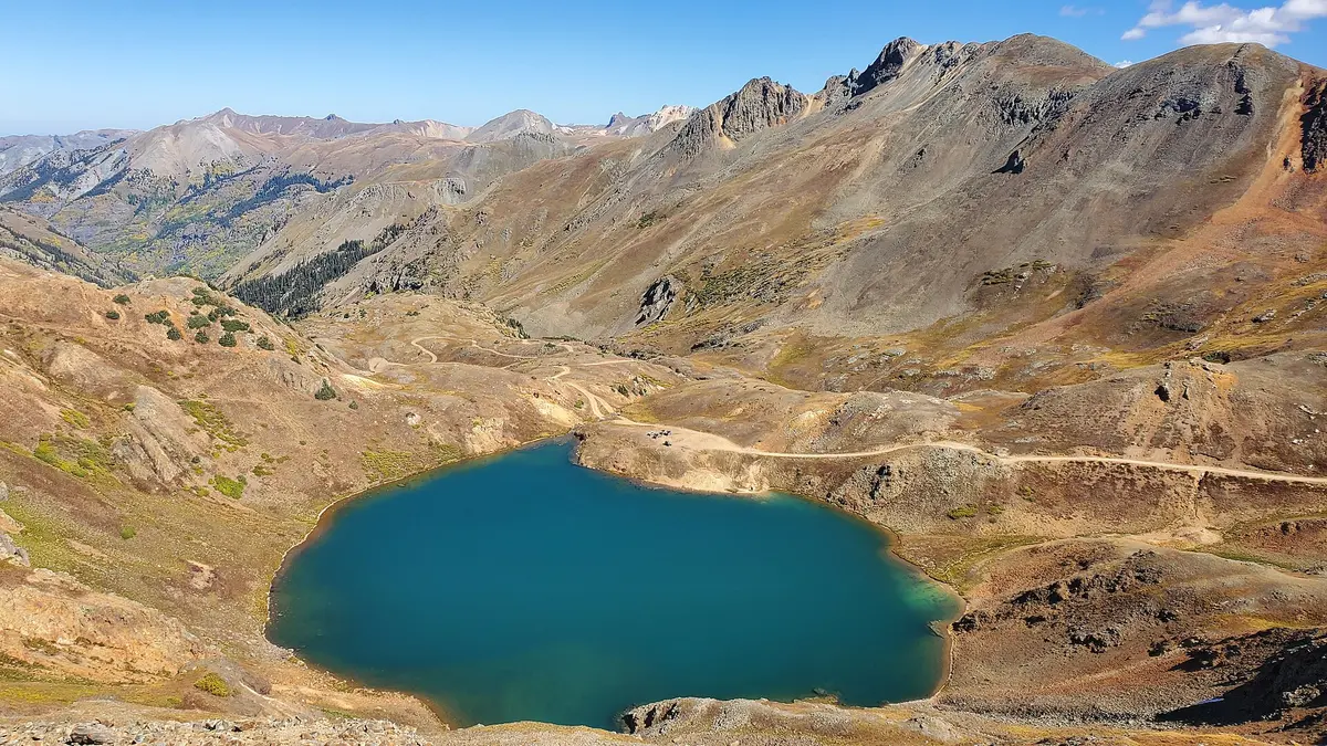
Lake Como Road
Blanca / Alamosa, Colorado
Notorious rock-crawl toward Blanca Peak's Lake Como at 11,700 ft
Photo: D&RG Railfan / CC BY 3.0 / Wikimedia Commons
Nav gets you to the trailhead. On the trail, Follow trail shows the line and where you are on it — road directions don't work on dirt trails.
The line joins the trail's waypoints in straight lines — it shows the general route, not every turn.
Lake Como Road climbs from CO 150 up the flank of Blanca Peak toward Lake Como, gaining about 4,000 ft in roughly six miles. The lower miles are passable for stock 4x4s to about 8,800 ft, but above that the infamous Jaws 1-4 obstacles make it territory for heavily built rigs, ATVs and walkers. The road is exposed to sun and has sharp hairpins.
Waypoints
- 1Lake Como Road at CO 150
Bottom of the road, about 7,750 ft
37.53084, -105.58576
- 2Lake Como (Blanca Pk) trailhead area
Around 8,000 ft; road gets rocky beyond, most cars stop near here
37.53861, -105.57611
- 3Lake Como
About 11,737 ft; Jaws obstacles lie below
37.56960, -105.51406