
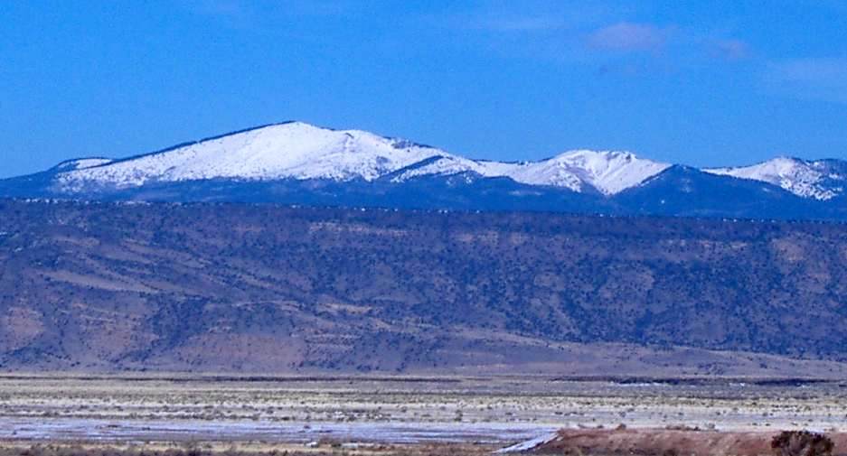
La Mosca Lookout Road (FR 453)
Grants / Mount Taylor, New Mexico
Gravel to dirt up Mount Taylor's shoulder to an 11,000-ft lookout
Photo: ANNAfoxlover at English Wikipedia / Later version(s) were uploaded by Casito at English Wikipedia . / Public domain / Wikimedia Commons
Nav gets you to the trailhead. On the trail, Follow trail shows the line and where you are on it — road directions don't work on dirt trails.
The line joins the trail's waypoints in straight lines — it shows the general route, not every turn.
From Grants, Lobo Canyon Road (NM 547) climbs onto Mount Taylor until the pavement ends. About 3 miles later, Forest Road 453 turns off and winds through aspen and fir for more than 5 miles to the La Mosca fire lookout at 11,036 ft. The road crosses the Continental Divide Trail near a parking area with toilets. The surface goes from graded gravel to primitive dirt. Low range helps on the steeper upper slopes and the washouts near the saddle below Mount Taylor.
Waypoints
- 1FR 453 turnoff from NM 547
Per dogofthedesert.net (35°16.640'N 107°38.923'W), about 15 mi up Lobo Canyon Road from Grants.
35.27733, -107.64872
- 2CDT crossing / parking with pit toilets
Per dogofthedesert.net parking point (35°15.791'N 107°37.695'W). The CDT crosses FR 453 about 90 m back, marked by cairns.
35.26318, -107.62825
- 3La Mosca Lookout
Coordinates per SummitPost La Mosca Lookout page (11,036 ft).
35.25120, -107.59610