
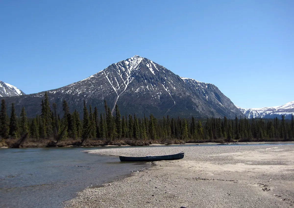
Kusawa Lake Road
Kusawa Territorial Park, southwest of Whitehorse, Canada
Narrow gravel down the Takhini River to a glacier-blue lake
Photo: Representative photo, not this location (Jennoit / Jenn - https://www.flickr.com/people/benandjenn/ / CC BY 2.0 / Wikimedia Commons)
Nav gets you to the trailhead. On the trail, Follow trail shows the line and where you are on it — road directions don't work on dirt trails.
The line joins the trail's waypoints in straight lines — it shows the general route, not every turn.
A narrow, winding, fully unpaved road that leaves the Alaska Highway west of Whitehorse and follows the Takhini River south for about 24 km to the north end of Kusawa Lake in Kusawa Territorial Park. It turns muddy after rain and has pitted sandy stretches and some steep pitches, so it is slow going for big rigs. Two government campgrounds sit along the way, with the long glacial lake and Coast Mountain foothills waiting at the end.
Waypoints
- 1Alaska Highway junction (km 1489)
Turn south off the Alaska Highway at km 1489 (historic mile 960).
60.77310, -136.05628
- 2Takhini River Campground
Km 15 of Kusawa Lake Road.
60.65400, -136.10500
- 3Kusawa Lake Campground
Km 23; north end of Kusawa Lake, boat launch. Watch for wind on the lake.
60.58500, -136.14600