
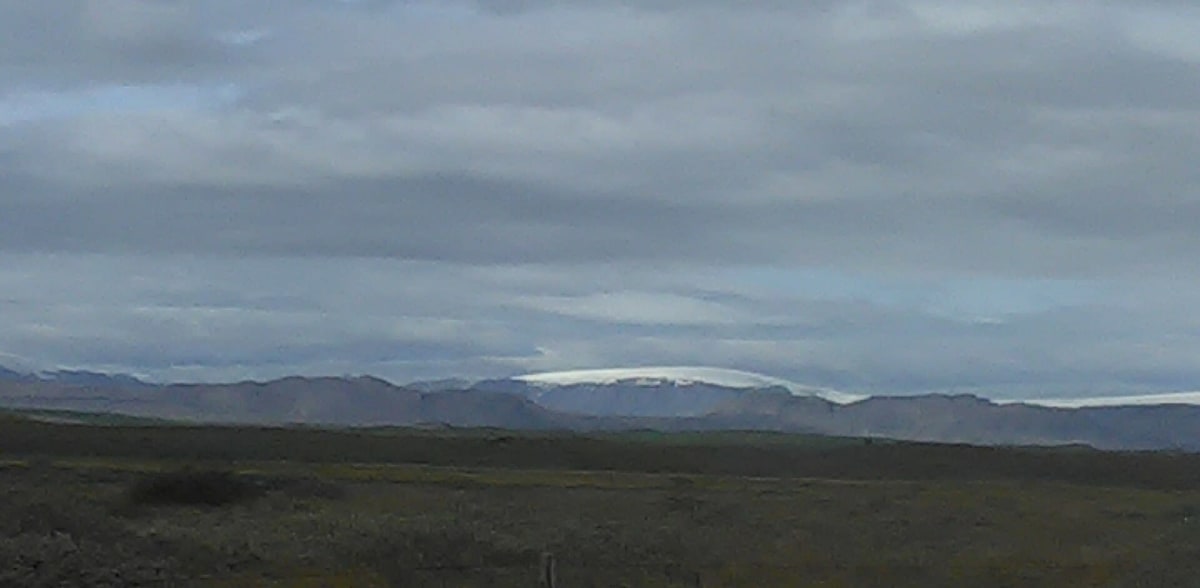
Kjölur (F35)
Central Highlands, Iceland
An ancient route across Iceland's highlands between two glaciers, past the Hveravellir hot springs.
Photo: Hornstrandir1 / CC BY-SA 4.0 / Wikimedia Commons
Nav gets you to the trailhead. On the trail, Follow trail shows the line and where you are on it — road directions don't work on dirt trails.
Trail line © OpenStreetMap contributors (ODbL).
Kjölur (F35) crosses Iceland's interior between the Langjökull and Hofsjökull glaciers, linking Gullfoss in the south with the north. It is one of the easier highland roads — gravel and washboard with few fords — and passes the geothermal area and hot pool at Hveravellir and the colourful hills of Kerlingarfjöll. Like all highland roads it is closed outside the short summer season.
Waypoints
- 1Start of Kjalvegur
64.32042, -20.13492
- 2Kjalvegur, about 24 mi in
64.57668, -19.73865
- 3Kjalvegur, about 48 mi in
64.84336, -19.37454
- 4Kjalvegur, about 73 mi in
65.10487, -19.65670
- 5End of Kjalvegur
65.41787, -19.82567