
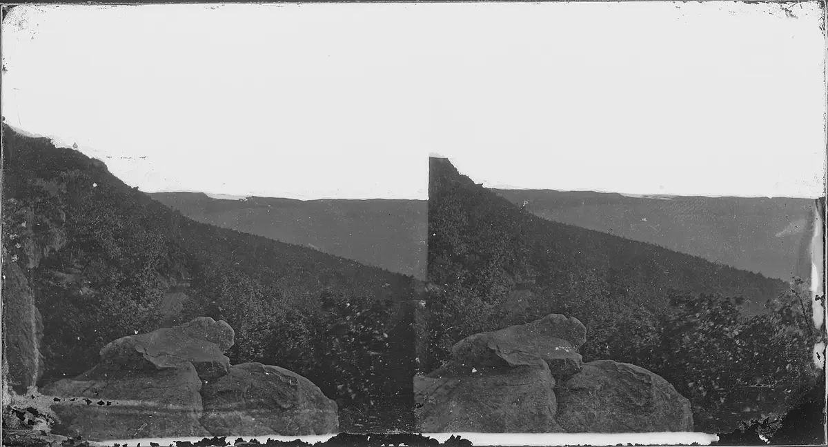
Kendall Skyline Road to Table Rock
Dayton / Blue Mountains, Columbia County, Washington
Blue Mountains crest road to a basalt-plateau fire lookout
Photo: Mathew Benjamin Brady / Public domain / Wikimedia Commons
Nav gets you to the trailhead. On the trail, Follow trail shows the line and where you are on it — road directions don't work on dirt trails.
The line joins the trail's waypoints in straight lines — it shows the general route, not every turn.
Kendall Skyline Road follows the crest of the northern Blue Mountains south from Eckler Mountain past the Godman guard station and the top of the Bluewood ski area, a single-lane gravel road with ruts, mud after rain, many viewpoints and dispersed camping. A spur, FR 475, climbs the last rough mile over sharp basalt to Table Rock Lookout at 6,250 ft, overlooking the Wenaha-Tucannon Wilderness and the Walla Walla valley. It is graded only once or twice a year, so carry a tire repair kit.
Waypoints
- 1Eckler Mountain
GNIS summit coordinates via TopoQuest (4,691 ft). From Dayton via North Touchet and Hatley Gulch roads onto Eckler Mountain Road / Kendall Skyline Road (USFS directions).
46.24348, -117.77992
- 2Godman Campground & Trailhead
USFS coordinates, 11.7 miles along Kendall Skyline Road after the Eckler Mountain section. Vault toilet, no water.
46.10005, -117.78786
- 3Ski Bluewood
Wikipedia coordinates for the ski area, where North Touchet Road meets Kendall Skyline (NF-64); Table Rock is about 6 more miles south.
46.08200, -117.85100
- 4Table Rock Lookout
TrailChick coordinates (GNIS Table Rock 46.030419, -117.911321), 6,250 ft. Reached by FR 475 off FR 64; last mile rough basalt, gate about 0.5 mile below summit.
46.03053, -117.91158