
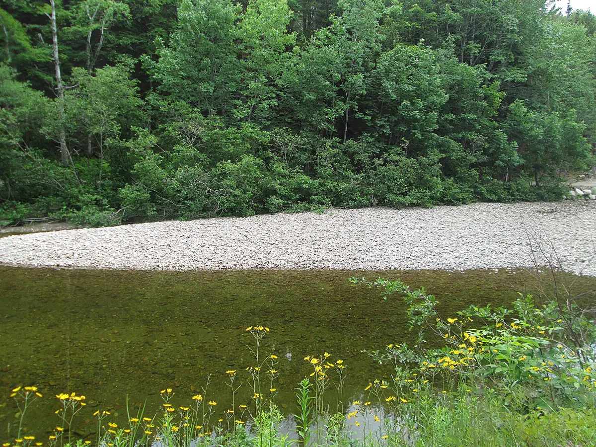
Hinkley Glen Road
Pleasant Bay / Cape Breton Highlands, Canada
A short gravel glen road under Icy Mountain
Photo: Representative photo, not this location (Larry from Charlottetown, PEI, Canada / CC BY 2.0 / Wikimedia Commons)
Nav gets you to the trailhead. On the trail, Follow trail shows the line and where you are on it — road directions don't work on dirt trails.
The line joins the trail's waypoints in straight lines — it shows the general route, not every turn.
Hinkley Glen Road leaves the Red River Road at the Red River bridge and climbs 3.8 km southeast up the Red River valley between Icy Mountain and Andrews Mountain. The whole road is gravel, crossing the Red River once more before ending at a rock quarry where an ATV trail continues. It was in fair to good shape in fall 2014 with a handful of rough spots that need some care.
Waypoints
- 1Red River bridge (south side)
Start at the south side of the bridge over the Red River on the Red River Road.
46.84707, -60.76673
- 2Icy Mountain slopes
Panorama of the slopes of Icy Mountain.
46.84502, -60.75783
- 3Red River crossing
Bridge over the Red River.
46.83883, -60.74887
- 4Road above the Red River
Road runs above the river, looking across at Icy Mountain.
46.83383, -60.73898
- 5Rock quarry at road end
Driveable end of the road; ATV trail beyond is not for street vehicles.
46.83042, -60.72833