
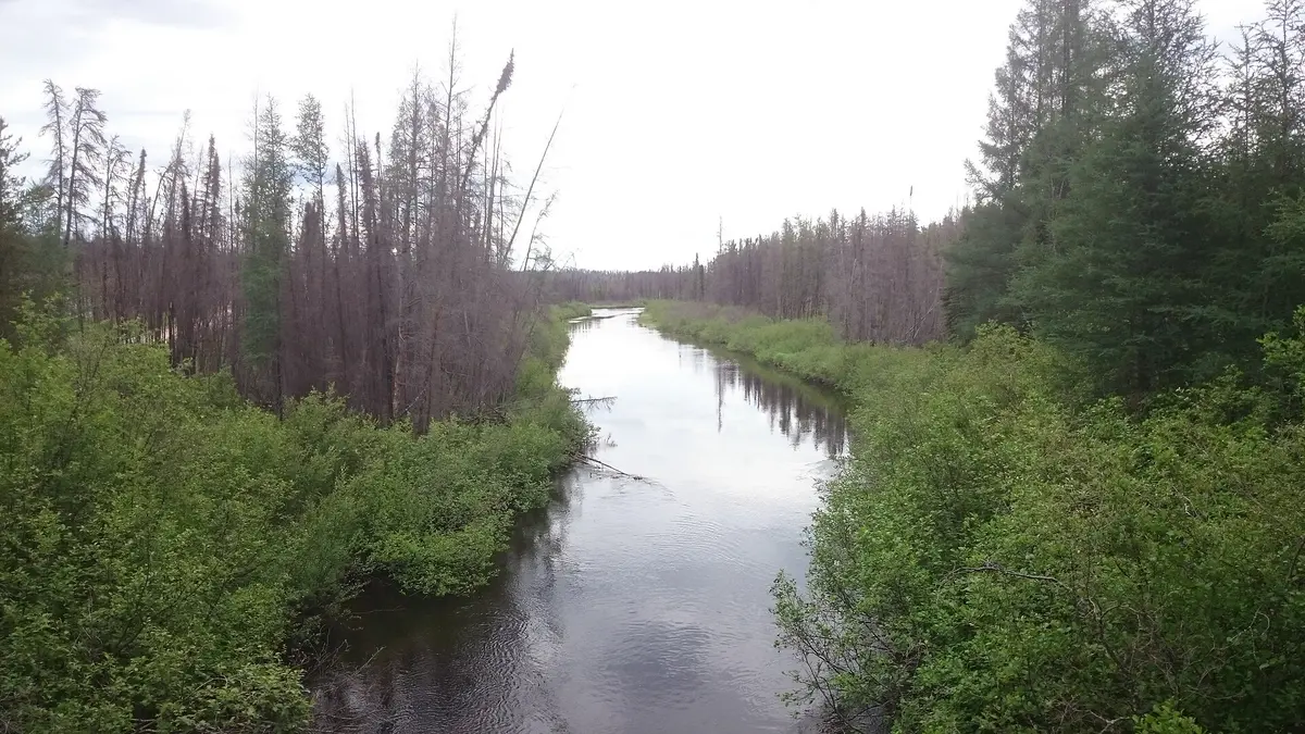
Highway 955 (La Loche to Cluff Lake)
Northwest Saskatchewan (La Loche / Clearwater River), Canada
Saskatchewan's loneliest gravel road to the Alberta-border uranium country
Photo: Konstantin von Gunten (Kvgunten) / CC BY-SA 4.0 / Wikimedia Commons
Nav gets you to the trailhead. On the trail, Follow trail shows the line and where you are on it — road directions don't work on dirt trails.
The line joins the trail's waypoints in straight lines — it shows the general route, not every turn.
Highway 955 leaves La Loche and runs some 245 km north through jack pine and muskeg to the decommissioned Cluff Lake uranium mine near the Alberta border. Past the first few paved kilometres it is gravel the rest of the way, with sharp rock, washboard and soft sand patches. The highway crosses the Clearwater River at Warner Rapids inside Clearwater River Provincial Park, where wilderness campsites sit beside the bridge. There are no services north of La Loche, so carry spare tires and extra fuel.
Waypoints
- 1La Loche (Highway 155 / 955)
Last fuel and supplies. Pavement ends near the Clearwater River Dene Nation turnoff.
56.48300, -109.43300
- 2Clearwater River Provincial Park (Warner Rapids bridge)
Park coordinates. About 65 km north of La Loche; 17 wilderness campsites on the north-east side of the bridge, no facilities.
56.89833, -108.98056
- 3Cluff Lake mine site
Decommissioned uranium mine; airstrip and camp removed. No services.
58.36666, -109.54285