
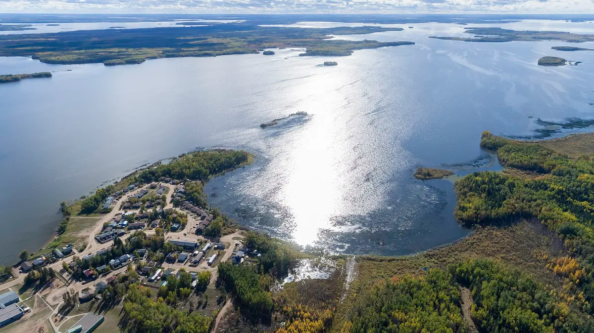
Highway 914 (Highway 165 to Key Lake)
North-central Saskatchewan (Pinehouse / Haultain River), Canada
Haultain River gravel run through Pinehouse to the uranium belt
Photo: Dreerwin / CC BY-SA 4.0 / Wikimedia Commons
Nav gets you to the trailhead. On the trail, Follow trail shows the line and where you are on it — road directions don't work on dirt trails.
The line joins the trail's waypoints in straight lines — it shows the general route, not every turn.
Highway 914 leaves Highway 165 south of Pinehouse and runs about 268 km north into the Athabasca Basin, ending at the Key Lake uranium mill. Pinehouse is the only community along the way; beyond it the road follows the Haultain River through remote boreal forest and crosses the Churchill River. Expect mine traffic, dust and long stretches with no services or cell coverage; the road beyond Key Lake toward McArthur River is restricted.
Waypoints
- 1Highway 165 junction
Origin of the route map cited on the Highway 914 article.
55.23552, -106.79123
- 2Pinehouse
Only community on the route; last fuel. Key Lake is 223 km north.
55.51361, -106.59861
- 3Key Lake mine
Official end of Highway 914. Road north to McArthur River is restricted.
57.20667, -105.65917