
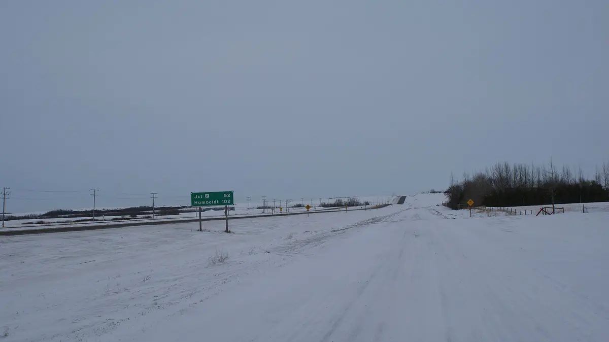
Highway 102 (Missinipe to Southend)
Northeast Saskatchewan (Churchill River / Reindeer Lake), Canada
Churchill River country gravel to the shore of Reindeer Lake
Photo: SriMesh / CC BY-SA 3.0 / Wikimedia Commons
Nav gets you to the trailhead. On the trail, Follow trail shows the line and where you are on it — road directions don't work on dirt trails.
The line joins the trail's waypoints in straight lines — it shows the general route, not every turn.
North of La Ronge, Highway 102 (the northern end of the CanAm Highway) turns into a long, mostly gravel road through lake-studded Canadian Shield. From the canoe outpost of Missinipe on Otter Lake it passes Otter Rapids, Brabant Lake and the Highway 905 junction before ending at Southend on Reindeer Lake. Services are few and far between, so top up in La Ronge or Missinipe.
Waypoints
- 1Missinipe (Otter Lake)
Canoe outfitters and fuel; Otter Rapids campground about 5 km north.
55.60528, -104.78028
- 2Brabant Lake
Small community near the mouth of the Waddy River.
56.11611, -103.75139
- 3Highway 905 junction
Highway 905 heads north to Wollaston Lake and Points North.
56.26559, -103.55442
- 4Southend (Reindeer Lake)
Northern terminus of Highway 102 and the CanAm Highway.
56.32960, -103.24260