
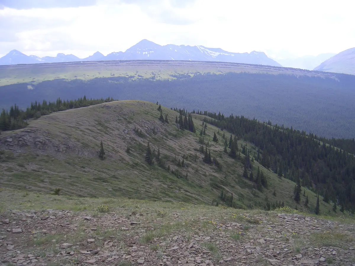
Grave Flats Road to Cardinal Divide
Coal Branch / Whitehorse Wildland Provincial Park, Canada
Rocky gravel climb to an alpine divide
Photo: Nuggets / CC BY 3.0 / Wikimedia Commons
Nav gets you to the trailhead. On the trail, Follow trail shows the line and where you are on it — road directions don't work on dirt trails.
The line joins the trail's waypoints in straight lines — it shows the general route, not every turn.
From the old coal town of Cadomin, the gravel Grave Flats Road climbs south past the Mountain Park cemetery and townsite remains to the Cardinal Divide viewpoint at roughly 1,980 m, one of the highest points you can drive to in Alberta. The road is rocky, not maintained year-round, and shares the valley with active coal mining, so stay on the public road and watch for haul trucks. Alberta Parks recommends four-wheel drive for the viewpoint.
Waypoints
- 1Cadomin
Last services; continue south through town on the gravel road (Wikipedia coords).
53.03246, -117.32652
- 2Mountain Park cemetery & townsite
Cemetery on the left side of the road, 8.5 km up Grave Flats Road from Whitehorse Creek PRA; townsite trail a few hundred metres on (Wikipedia coords for townsite).
52.93028, -117.27250
- 3Cardinal Divide Viewpoint
Parking at about 1,981 m elevation; alpine hiking along the divide.
52.89525, -117.24783