
Gcwihaba Caves Traverse (Nokaneng to Tsau)
Ngamiland West, North-West District, Botswana
Deep-sand crossing of the northwest Kalahari via Qangwa, Xaixai and Drotsky's Caves
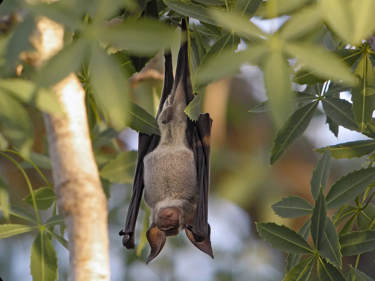
Photo: Representative photo, not this location (Frank Vassen / CC BY 2.0 / Wikimedia Commons)
Nav gets you to the trailhead. On the trail, Follow trail shows the line and where you are on it — road directions don't work on dirt trails.
The line joins the trail's waypoints in straight lines — it shows the general route, not every turn.
A two-day crossing of remote Ngamiland that leaves the A35 at Nokaneng on a poorly maintained gravel road west to Qangwa near the Namibian border, then south to Xaixai and the last 36 km of narrow sand to the Gcwihaba (Drotsky's) Caves, a national monument in a fossil valley. From the caves a deep-sand track runs east through the Nxainxaidum valley back to the A35 just north of Tsau. There are no fuel stops off the tar, mud and standing water are common after rain, and elephants use the area.
Waypoints
- 1Nokaneng
Leave the A35 onto the gravel Nokaneng-Xaixai road; nearest fuel is Gumare, 37 km north
-19.66220, 22.19010
- 2Qangwa
Small village near the Namibian border, roughly 100 km of rough track from the tar
-19.52778, 21.17556
- 3Xaixai (Xaxa)
Last village before the caves; Aha Hills lie to the north-west
-19.88278, 21.08056
- 4Gcwihaba (Drotsky's) Caves
About 36 km of narrow sand from Xaixai; gatehouse, guided cave tours, basic camping
-20.02169, 21.35477
- 5Tsau (A35)
Deep-sand track east via the Nxainxaidum fossil valley meets the A35 about 2 km north of Tsau
-20.16500, 22.45444